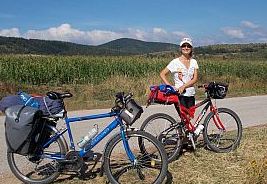
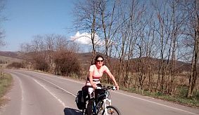
|
|
||
.jpg) |
|
|
|
|
||
|
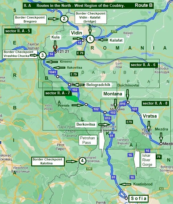
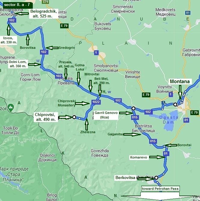
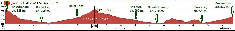
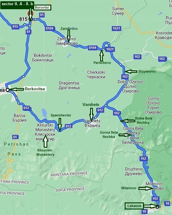
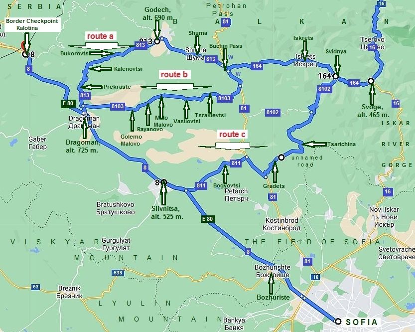
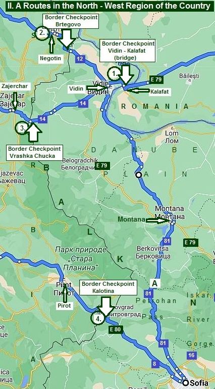
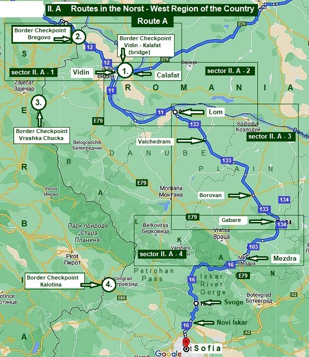
II. A Routes in the North - West Region of the Country |
||
|
|
||
.jpg)
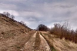
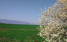
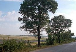
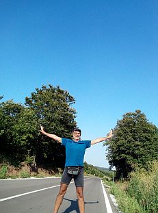
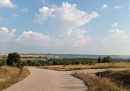
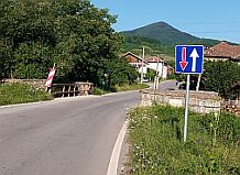
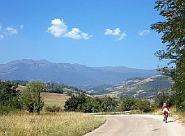
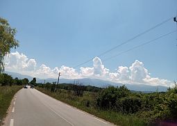
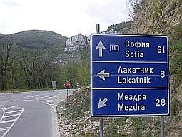
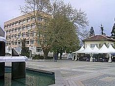
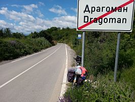
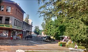
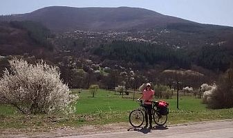
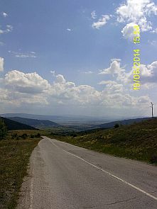
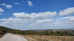
Geographically Sofia and its field does not belong to the North - Western Region of the country. In fact it located in the South - Western Region, but putting it here in this region improves my description making it easier for understanding.
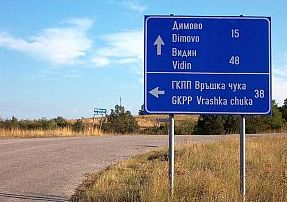
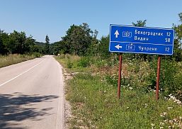
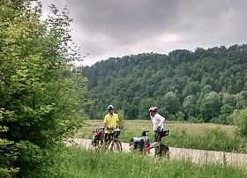
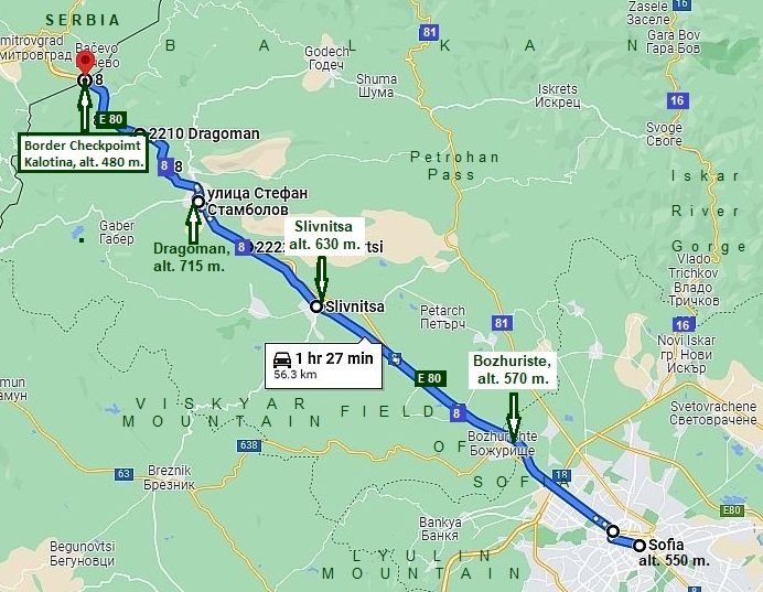
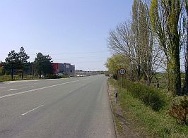
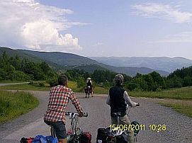
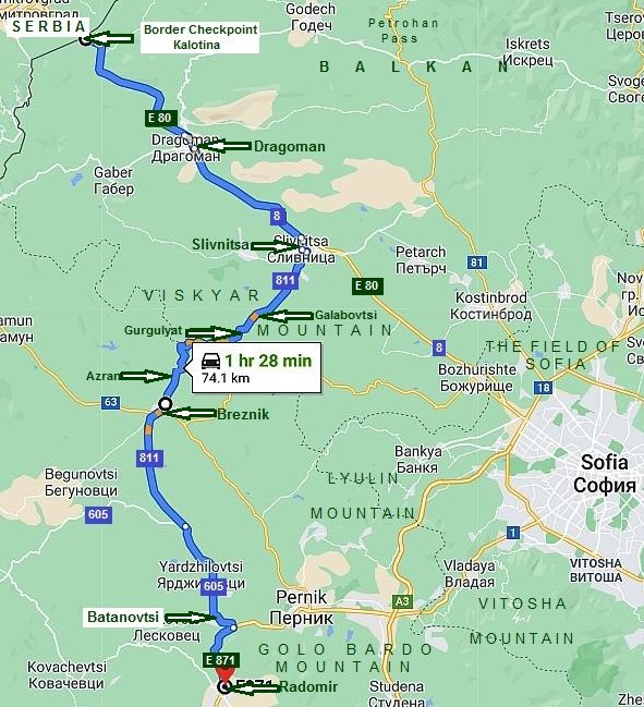
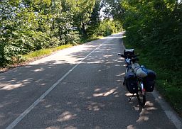
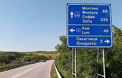
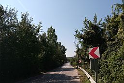
In this chapter I will give information for the routes to reach Sofia, entering from the border checkpoints shown on the map in the left.
The
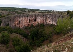
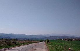
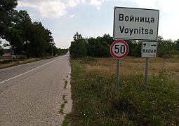
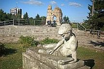
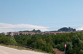
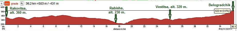
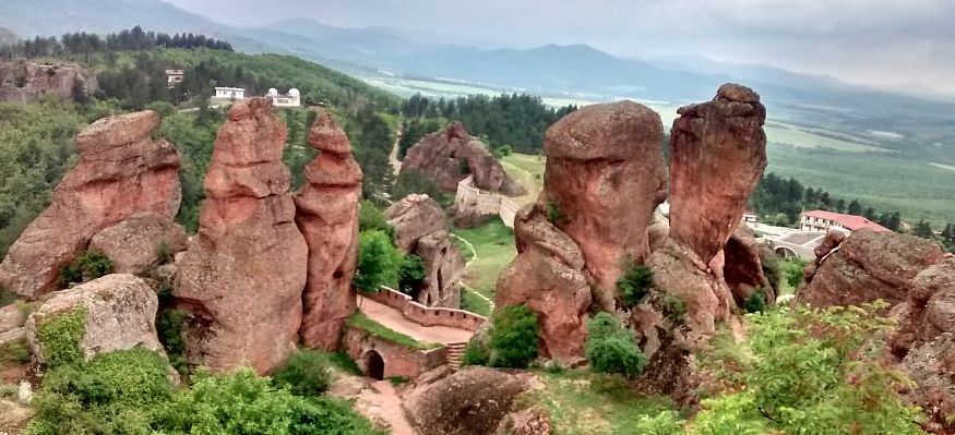
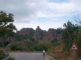
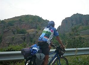
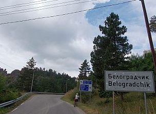
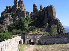
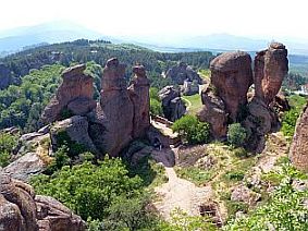
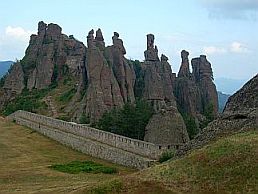
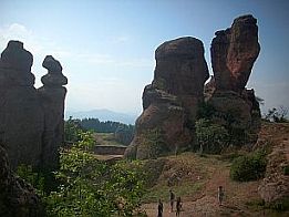
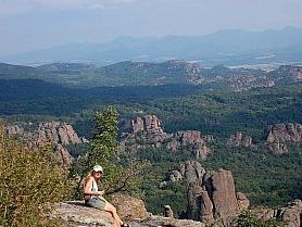
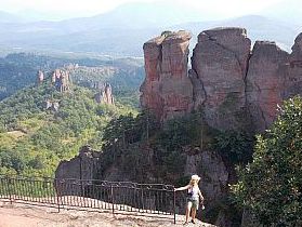
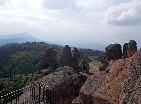
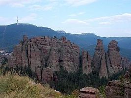
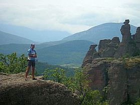
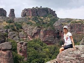
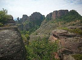
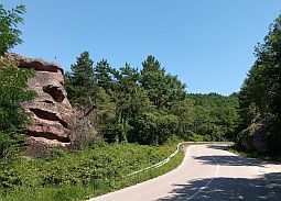
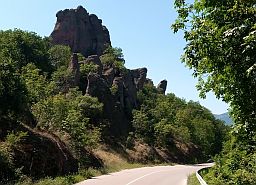
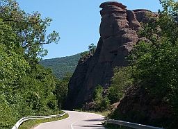
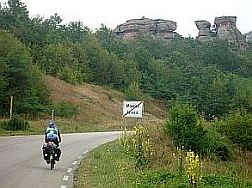
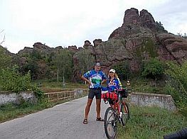
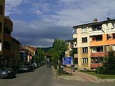
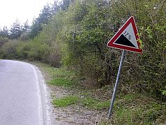
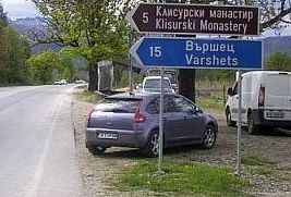
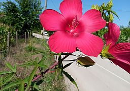
sightseeing in this region worth visiting and seeing are Belogradchik city
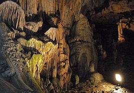
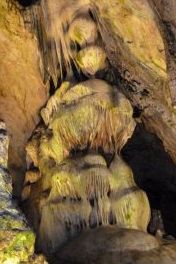
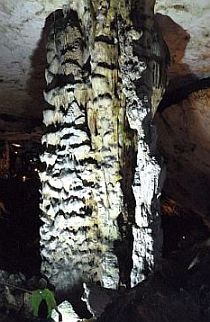
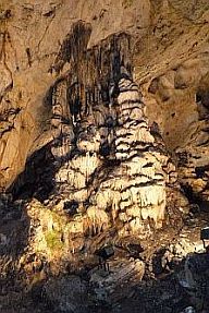
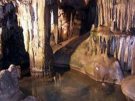
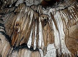
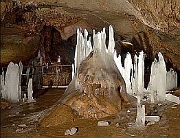
with its amazing rock formation and Rabisha Cave. Here
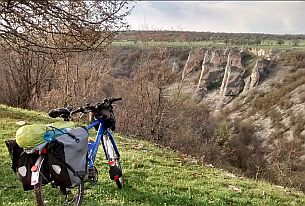
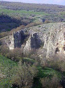
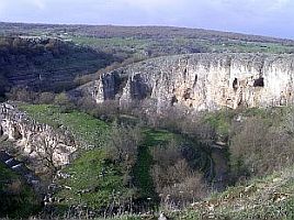
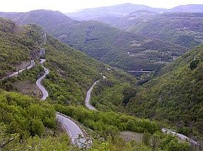
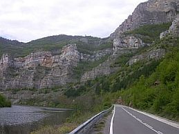
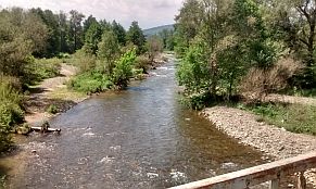
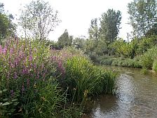
you can visit Iskar River
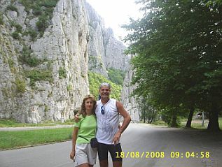
Gorge - the best river gorge in the country. In next my explanation I
will describe ways to visit and explore all
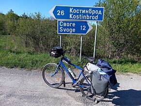
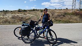
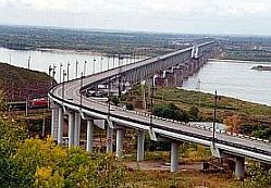
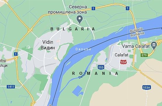
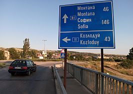
these places. Drawing the routes, my intention is to avoid roads with intensive traffic as well. Content From / to Romania 1. From Border Checkpoint Vidin - Kalafat (bridge) to Sofia;
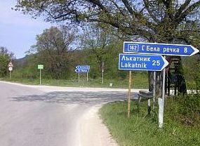
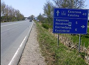
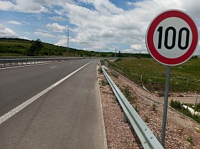
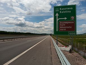
From / to Serbia 2. From Border Checkpoint Bregovo to Sofia; 3. From Border Checkpoint Vrashka Chucka to Sofia; 4. From Border Checkpoint Kalotina to Sofia;
The routes from the first three points of the north - west corner of the country to Sofia are the same. |
|
|
|
Routes for the first three points of the content:
1. From Border Checkpoint Vidin - Kalafat (bridge) to Sofia; 2. From Border Checkpoint Bregovo to Sofia; 3. From Border Checkpoint Vrashka Chucka to Sofia,
will be the same, as as these three border checkpoints are very close, the next description will be the same for all them. |
|
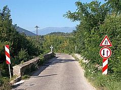
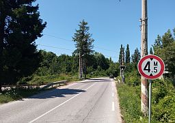
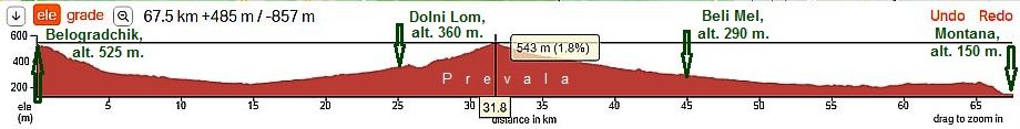
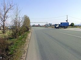
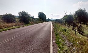
IMPORTANT: Avoid the next roads because of the intensive traffic along them: - E79: an international road with very intensive traffic. The next two roads are of local importance, traffic along them is also intensive, especially the second one, try to avoid them: - road 81: From Montana toward Lom; - road 15: From Vratsa toward Kozloduy. |
Having all that in mind, I will suggest the next two routes from Vidin to Sofia:
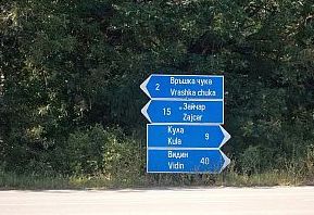
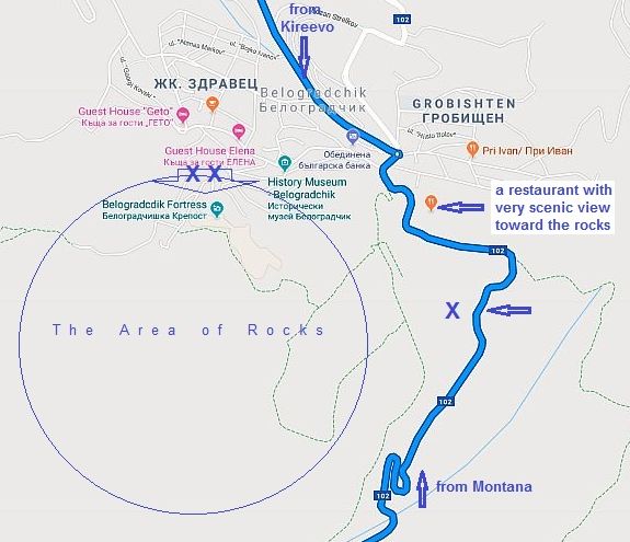
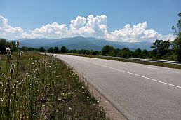
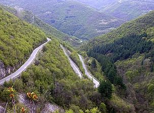
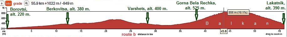
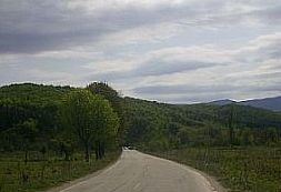
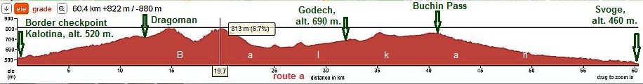
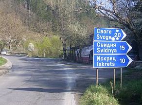
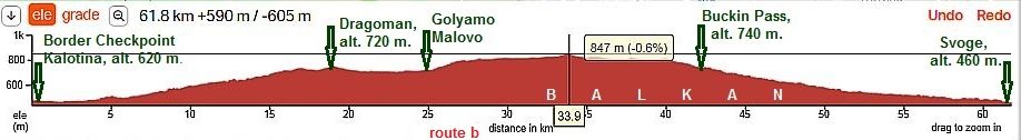
- route A: via Iskar River Gorge - road 16: From Border Checkpoint Bregovo to Vidin to Lom to Valchedram to Borovan to Gabare to Mezdra to Svoge to Sofia;
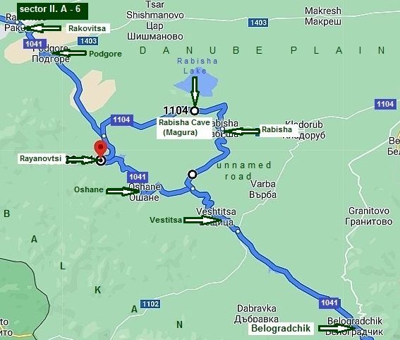
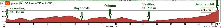
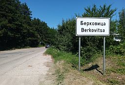
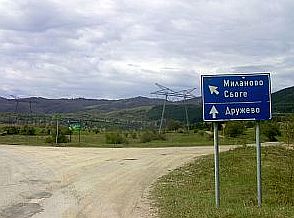
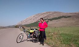
- route B: crossing Balkan via Petrohan Pass - road 81: From Border Checkpoint Bregovo Vidin to Belogradchik to Montana to Berkovitsa to Sofia.
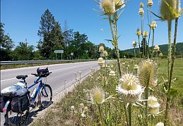
The first one is a little longer (280 km) but much easier than the second one (250 km), and for the last one I will show several nice opportunities as well.
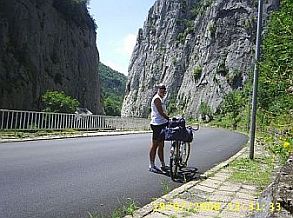
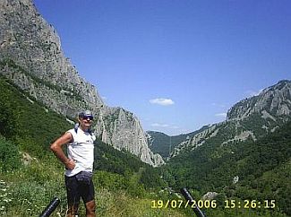
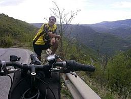
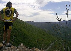
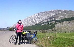
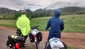
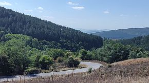
If you plan to explore this areas, my suggestion is of first to choose the place where you will cross Balkan, look in the: Chapter I 1. Petrohan Pass; 2. Iskar river Gorge, where very detail information can be seen concerning them. |
||
|
|
||
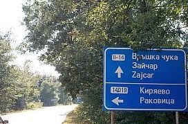
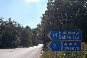
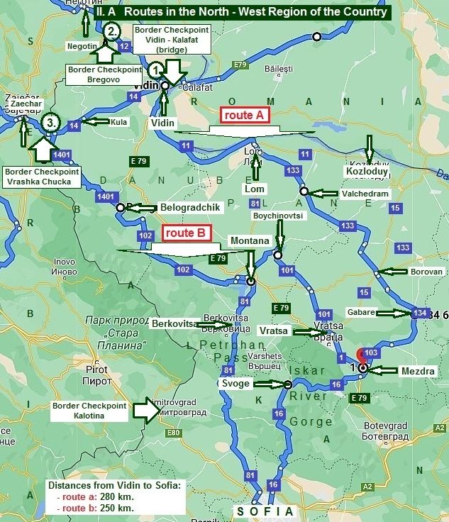
II. A Routes in the North - West Region of the Country
1. From border checkpoint Vidin - Kalafat (bridge) to Sofia;
2. From border checkpoint Bregovo to Sofia;
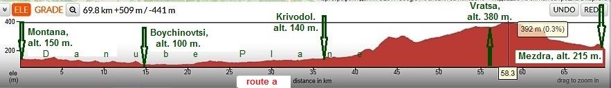
Route A
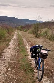
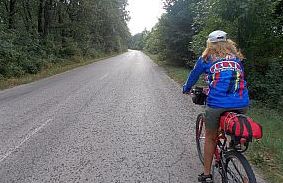
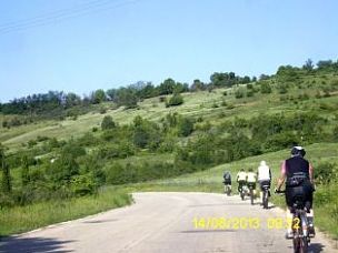
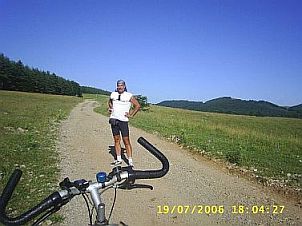
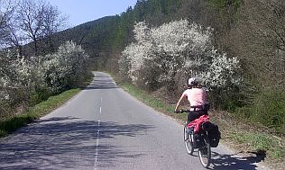
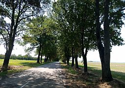
It is the route via Izkar River Gorge. I recommend this route to bicyclists who do not like to climb mountains. This route is appropriate in the cooler months, October through April, when higher mountain elevations are still very cool.
From border checkpoint Bregovo to Vidin to Lom to Valchedram to Borovan to Gabare to Mezdra to Svoge to Novi Iskar to Sofia.
For more detailed description I have divided it in four sections. |
|
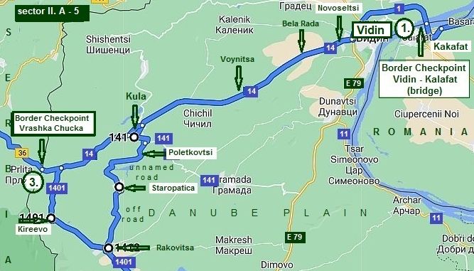
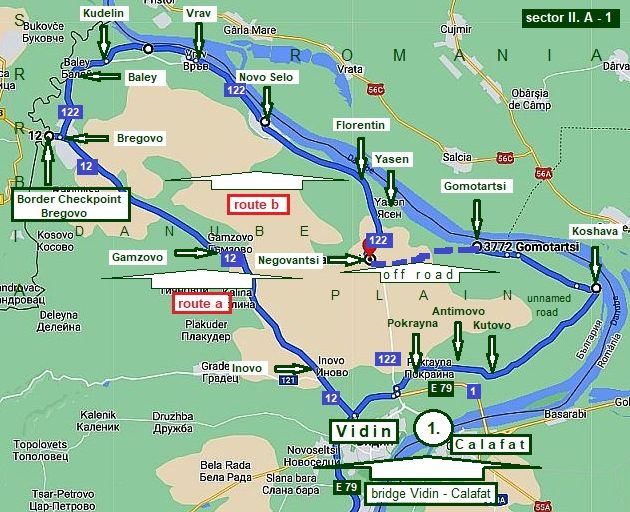
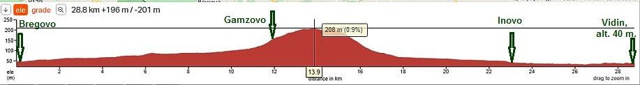
Sector II. A - 1 Here are shown two routes to reach Vidin from border checkpoint Bregovo: a) directly to Vidin and b) along Danube River:
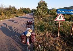
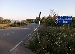
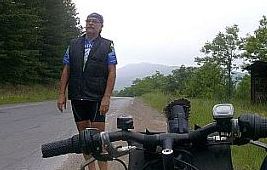
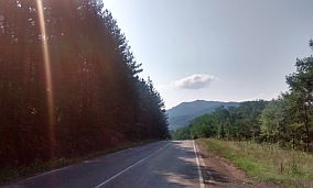
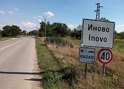
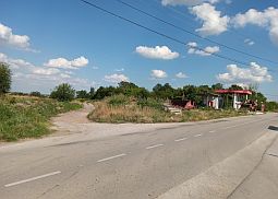
Route a (directly to Vidin City) Never mind that the road 12 is an international road between Bulgaria and Serbia, but there is minimal traffic on this road. The route is: From border checkpoint Bregovo to Gamzovo to Inovo to Vidin. Exploring the area for the first time, I was very surprise to see this big hill between Vidin and Bregovo, I had to climb in one very hot July afternoon. |
 |
 |
 |
 |
| Gamzovo is a little apart from the main road, if you need a food or water, you have to leave road 12. | ||
 |
 |
 |
 |
 |
 |
|
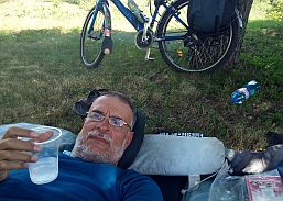
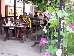
Relaxing in the little garden in Inovo with a big cup of tonic and cubes of ice - just next to the road there was a little restaurant. |
||
 |
 |
 |
|
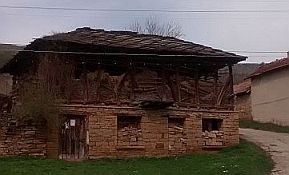
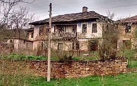
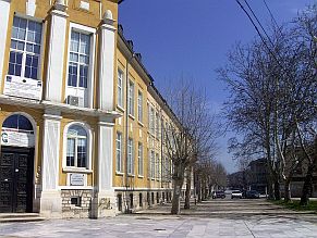
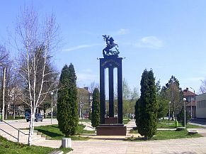
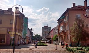
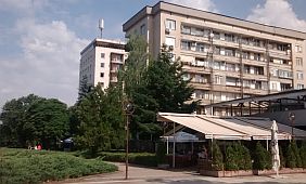
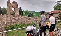
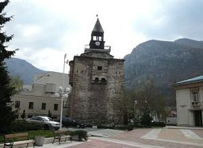
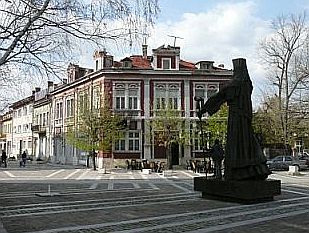
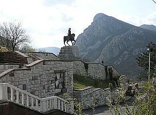
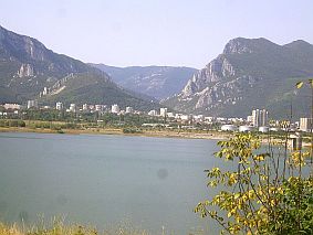
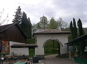
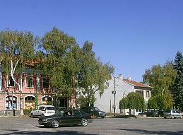
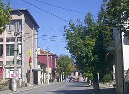
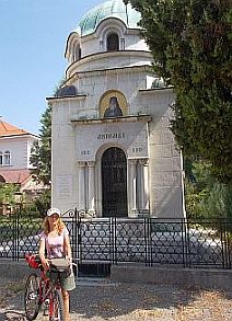
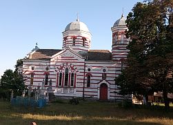
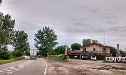
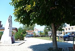
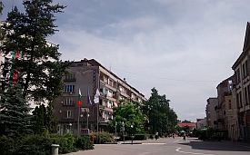
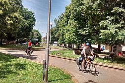
Approaching Vidin, you can choose to enter or surround city. The City played an important role in Bulgarian mediaeval history. |
Information about the town can be seen in the next two Sites: |
|
Have in mind that near Vidin Danube River flows to South - West, not to East. It is very easy to lose orientation in this town. Do not be surprised, if you see the sun is rising from West :) . . . Next several photos are from Vidin. |
|
|
|
|
||
 |
 |
 |
 |
 |
|
 |
 |
 |
|
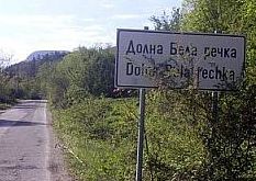
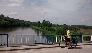
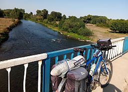
Sector II. A - 1 Route b (along Danube River)
For bicyclists entering in Bulgaria through border checkpint Bregovo and having more time my suggestion is to take a little the tour, pedaling along Danube River:
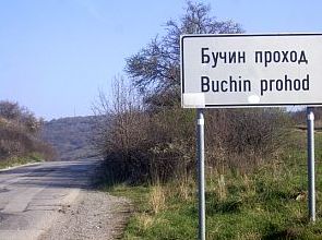
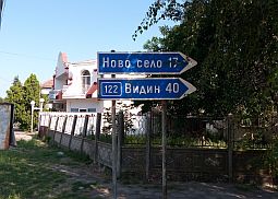
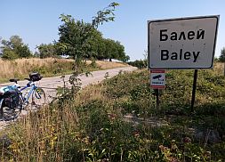
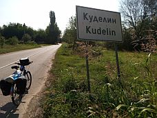
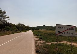
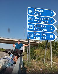
From border checkpoint Bregovo to Bregovo to Baley (road 122) to Kudelin to Vrav to Novo Selo to Yasen to Florentin to Negovantsi to Gomotartsi to Kohhava to Kutovo to Antimovo to Pokrayna to Vidin.
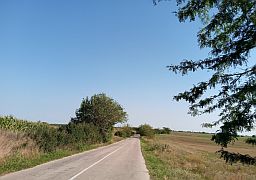
This will be a flat area route.
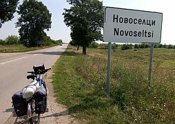
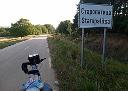
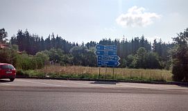
In Bregovo you have to find the sign toward Novo Selo - road 122. |
 |
 |
 |
|
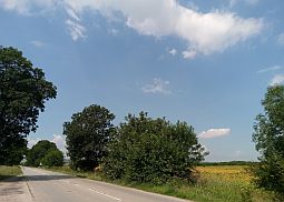
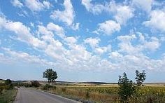
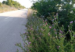
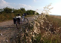
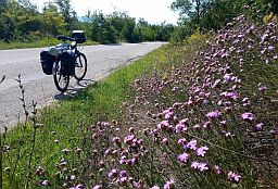
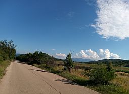
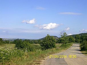
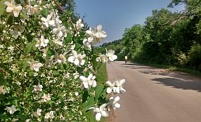
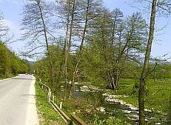
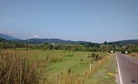
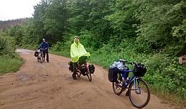
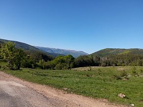
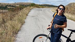
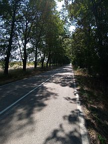
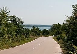
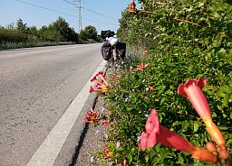
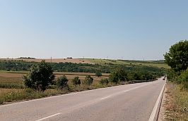
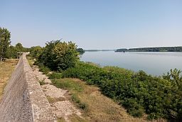
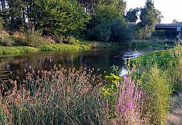
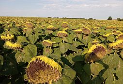
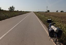
I can say the countryside is beautiful. Roads are nice with very little traffic. Water and food is available in all the small villages along the road. |
||
 |
 |
 |
 |
 |
|
 |
 |
 |
|
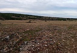
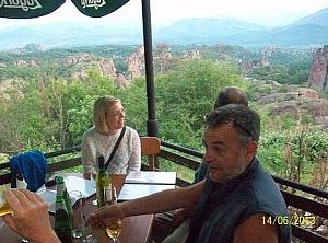
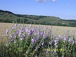
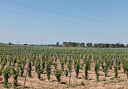
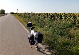
The region is known a lot of vineyards. They produce a local of aromatic red wine called "Gamza". Behind the big woods in the background of the photo below there is a shop offering a lot of these aromatic local wines. |
||
 |
 |
 |
 |
 |
 |
|
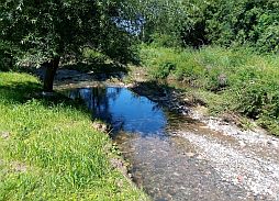
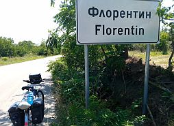
Next to Florentin is a really nice place to take a break and relax. When exploring this area have mosquito repellent with you. Usually, after June, the level of Danube River gets lower. |
||
 |
 |
 |
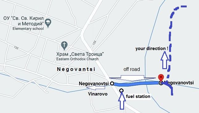
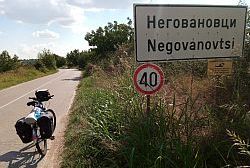
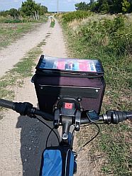
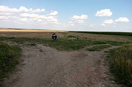
Reaching Negovantsi you can pedal directly toward Vidin. My suggestion is to head back toward Danube river following the off road toward Gomotartsi. The off road is not in bad condition and is not signed, Google Map shows it is only 300 meters long.
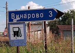
Leaving Negovanovtsi, look for a signs toward Vinarovo (the second photo below) to right, a little ahead is a fuel station. |
||
 |
 |
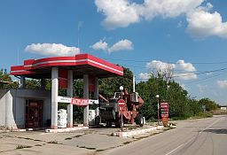 |
| Traveling toward Vinarovo, you have to turn to left (the first photo below), just 100 meters before the fuel station, it is the off road you need to pedal toward Gomotartsi. | Three hundred meters further your GPS will show that the road ends. Rather, you will reach a bridge over irrigate channel in the field. |
 |
 |
 |
 |
 |
|
Just after the bridge take the left turn (the last photo above) and follow the off road. You should experience any more problems on your travels to Gomotartsi. If memory serves, the village is 10 km further. |
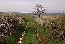
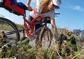
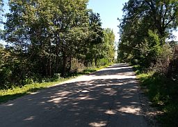
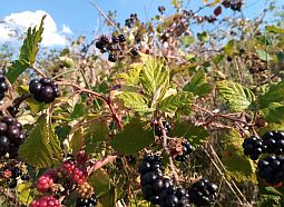
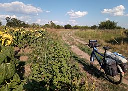
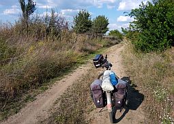
The next several photos illustrate this beautiful countryside. There were a lot of blackberries and pear trees along the route. |
|
|
|
|
|
|
|
|
| Just before entering in Gomotartsi you will start pedalling again on asphalt road. Food is available in it. | ||
 |
 |
 |
|
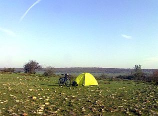
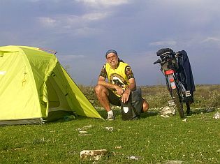
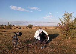
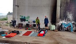
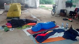
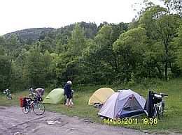
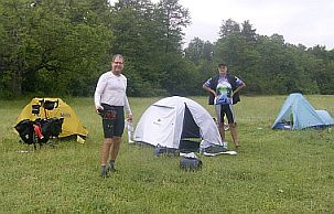
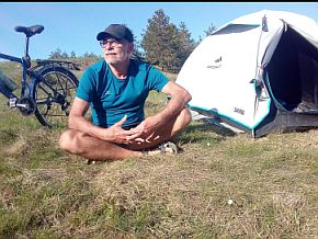
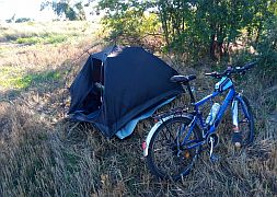
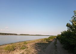
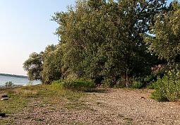
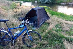
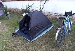
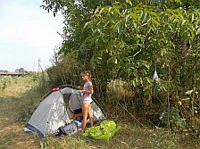
Knowing I was going to arrive late in Koshava, I spent the night next to the Danube River. |
||
 |
 |
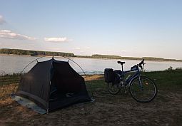 |
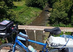
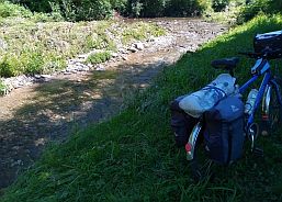
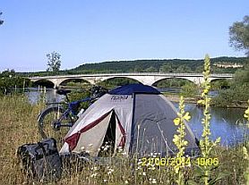
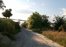
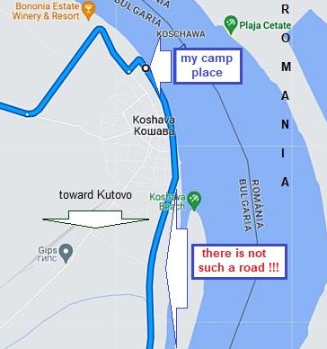 This is where I spent my night on the river shore.
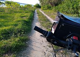
My intention, the next morning, was to follow the off road just next to the river, According to Google Map it should have took me to Vidin.
To my surprise, a kilometer later, this road ended - in the bushes - the second photo below.
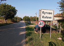
I pedaled up to Koshava taking the main road toward Kutovo and Vidin. |
||
 |
 |
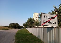 |
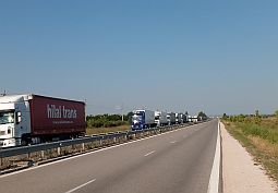
If you choose to not visit Vidin, in Kutovo you can take road 1 (E 79) and go around the city heading toward Lom.
You will again be again on the main road, pedaling in heavy traffic. Maybe, it might be a better idea to pedal through Vidin. |
||
 |
 |
 |
 |
 |
|
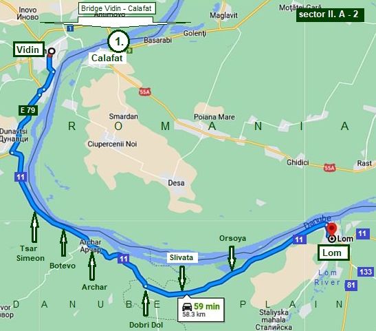
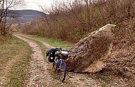
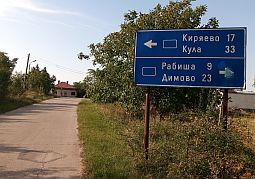
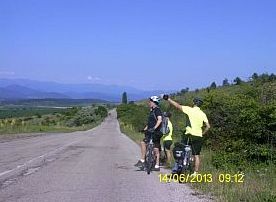
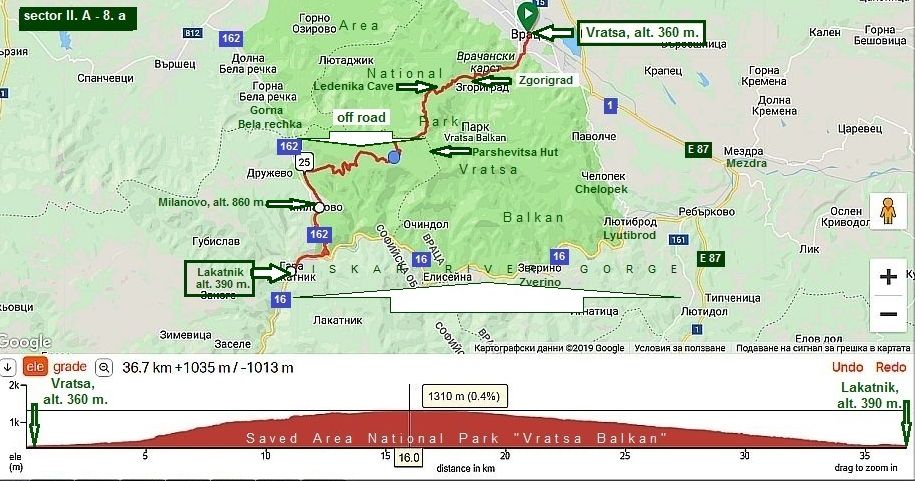
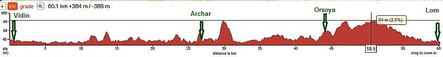
Sector II. A - 2
The route is:
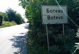
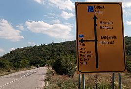
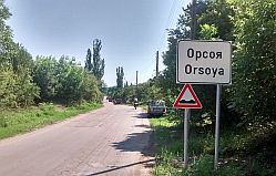
From Vidin (E79) to Dunavtsi (road 11) to Tsar Simeon to Botevo to Archer to Dobri Dol to Slivata to Orsoya to Lom.
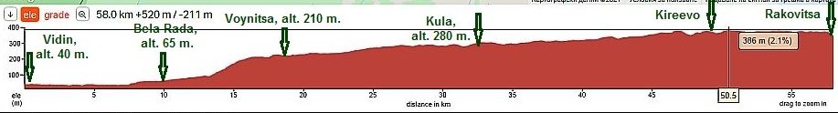
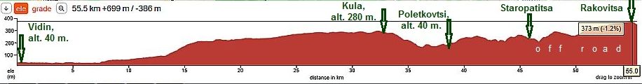
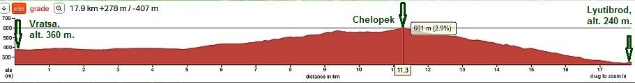
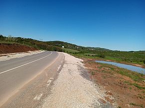
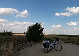
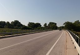
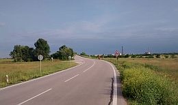
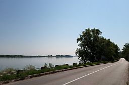
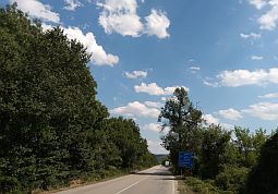
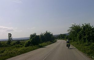
Leaving Vidin you will be pedaling for several kilometer on road E 79. You will also be pedaling is heavy traffic. There is no way to avoid this section of road over the next several kilometers. Once reaching road 11, the situation improves considerably, the traffic disappears, although heavy trucks can be on the road driving further to Archar. Looking at the road profile chart below, the distance is easy and pleasant for pedaling. The area here is mostly flat. There are several places you can stay along the riverside. |
||
 |
||

 |
 |
 |
 |
 |
 |
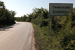
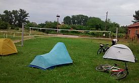
| Once leaving the main road, the traffic disappears. Below can be seen our camp place in Tsar Simeonovo, the volleyball ground. In the morning the village major brought us coffee and we spoke about our trip. | ||
 |
 |
 |
|
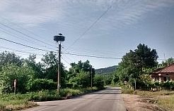
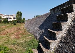
Tsar Simeon is low in elevation. Concrete walls are built near the river. There are not any problems accessing food and water in the little villages along the road. |
||
 |
 |
 |
 |
 |
 |
|
A little restaurant is located between Tsar Simeon and Botevo. They offer fish meals. The fish comes from the Danube river. |
||
 |
 |
 |
 |
 |
 |
|
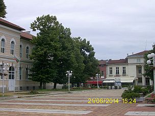
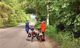
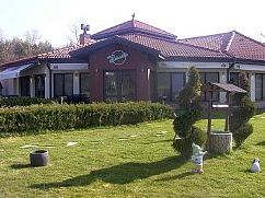
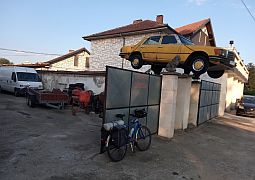
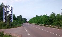
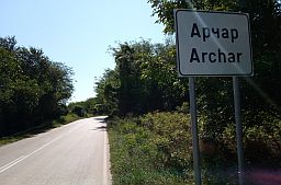
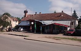
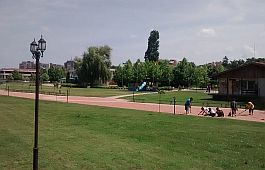
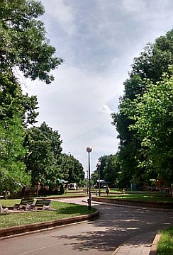
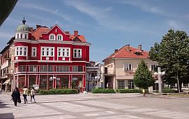
Entering the town of Archar you will see a coffee place and a little workshop. If you need some technical assistance with your bicycle this is the place. The town garden is a nice place to relax in the hot summer afternoon. |
||
 |
 |
 |
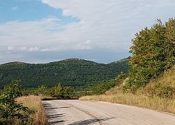
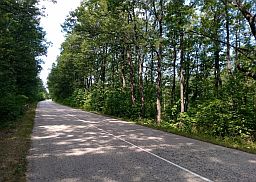
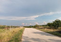
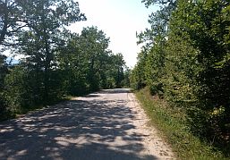
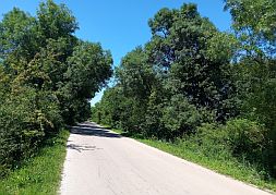
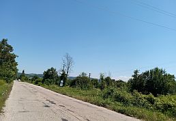
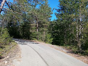
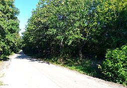
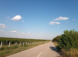
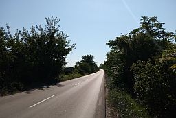
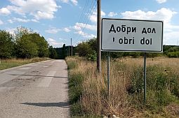
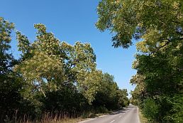
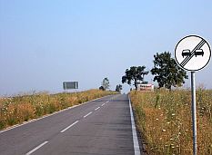
| After Dobri Dol the traffic disappears totally. | ||
 |
 |
 |
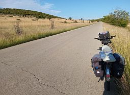
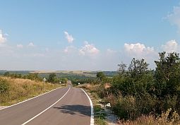
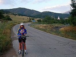
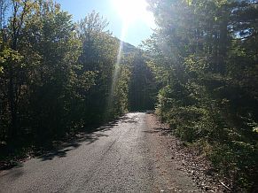
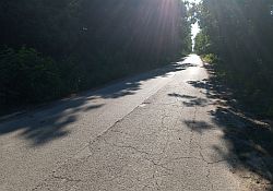
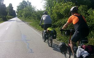
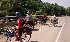
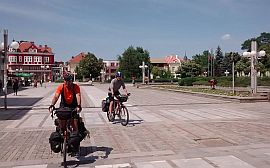
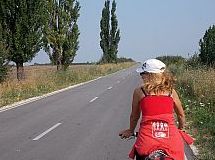
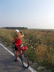
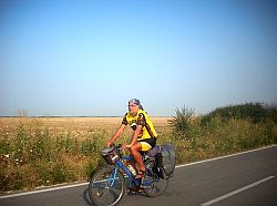
| This route is very popular among EU bicyclists. | ||
 |
 |
 |
 |
 |
 |
|
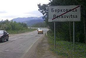
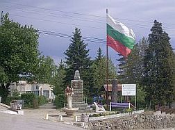
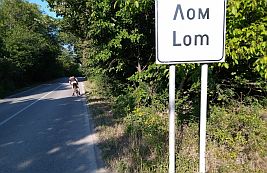
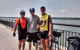
Information for Lom: http://www.visitbulgaria.net/en/lom/lom.html Next to Danube River you can find a nice garden and 2 - 3 hotels. There are shops for bicycle parts, tires and tubes. |
 |
 |
 |
 |
 |
 |
 |
 |
|
| Leaving Lom the road crosses Lom River. My camp place next to the river. | ||
 |
 |
 |
|
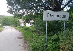
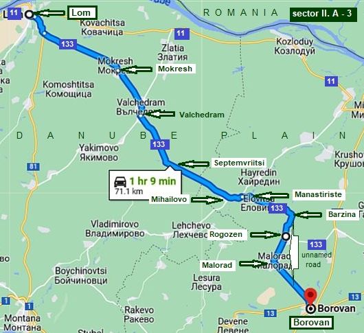
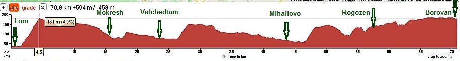
Sector II. A - 3
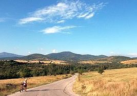
The entire area is extremely pleasant to be explored. The route is:
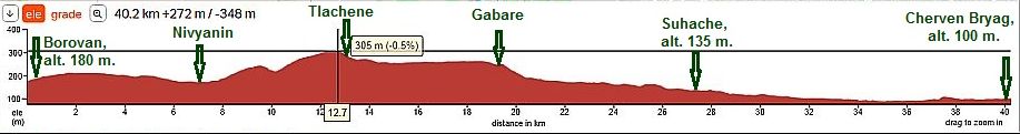
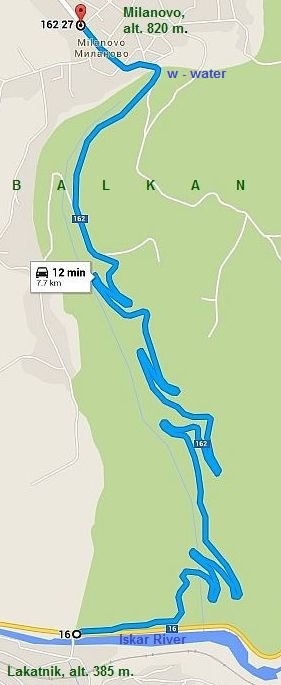
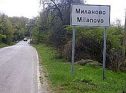
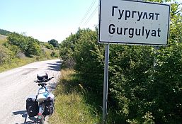
From Lom (road 81) to Mokresh (road 133) to Valchedram to Septemvriytsi to Milanovo to Manastiriste to Barzina to Rogozen to Malorad to Borovan.
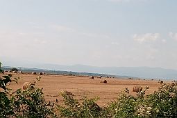
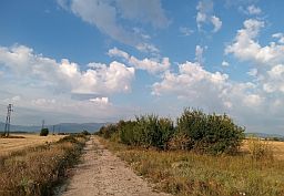
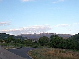
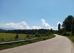
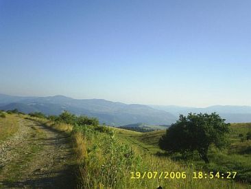
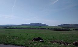
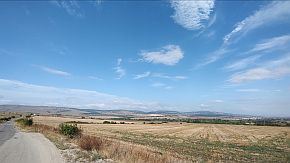
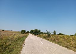
The road enters in Danube Plane. It is not absolutely flat, rolling hills are available all around.
https://en.wikipedia.org/wiki/Danubian_Plain_
The rivers are flowing from south (from Balkan) to north (to Danube). So, crossing the Plane from west to east, you will climbing steeper left river shores, followed by longer downhill road to east. It is visible very well on the road profile chart below. |
|
|
|
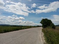
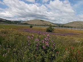
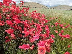
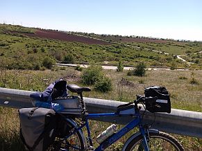
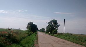
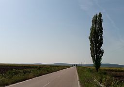
Once leaving Lom and climbing the hill after Lom, toward Valchedram the area is almost flat and there is not any traffic. |
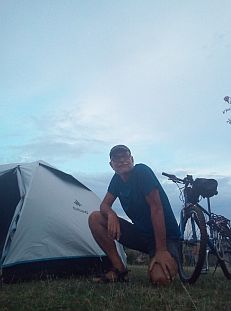
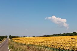
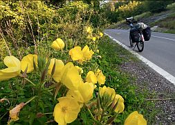
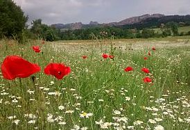
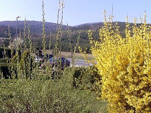
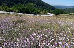
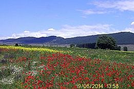
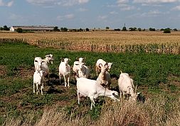
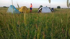
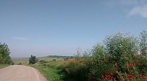
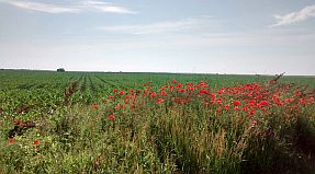
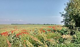
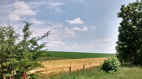
Next photos illustrate area just after Lom and our camp place just after Mokresh, taken in the beautiful end of May '18. Poppies are everywhere in the field. |
 |
 |
 |
 |
 |
 |
|
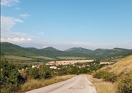
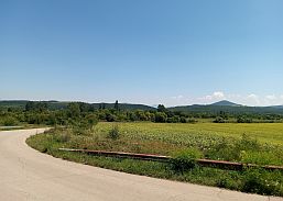
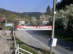
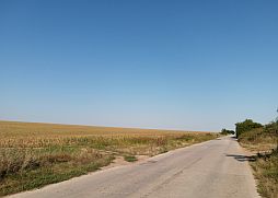
Valchedram is little town along the route, food and coffee is available in it. A little information for it: http://www.guide-bulgaria.com/nw/montana/vulchedrum The next photos are the countryside toward Mihailovo. |
||
 |
 |
 |
 |
 |
 |
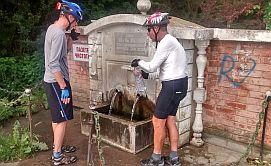
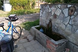
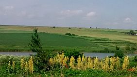
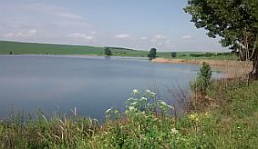
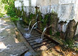
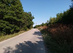
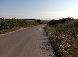
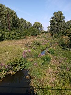
| Mihailovo is located in the valley of Ogosta River. Crossing it (the last photo above and the first one below), you will head toward Manastiriste. Next to the bridge thereis very nice spring of cool water. | The next photos illustrate the countryside toward Rogozen, my tour in the early July, 2020. The difference of the field colors in the end of May and middle of July is significant. |
 |
 |
 |
 |
 |
 |
|
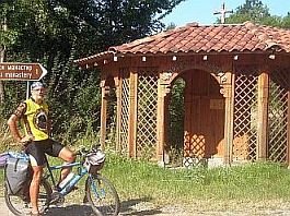
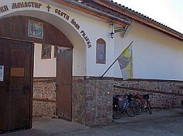
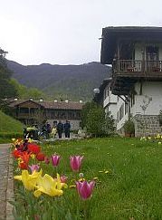
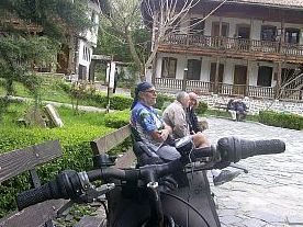
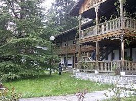
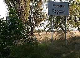
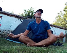
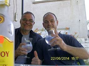
Overnight accommodation is possible in Rogozen, where a friend of mine, Ferdy, has a guest house (everyone in the village knows him): |
Wandering in this area I have never missed the chance to spent a night in his garden (appropriate for meditation), as well as to have a bottle of gin with him. |
 |
 |
 |
|
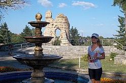
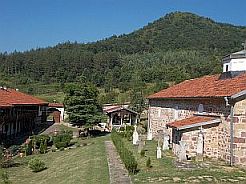
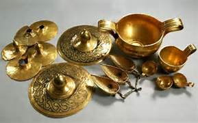
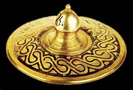
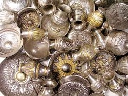
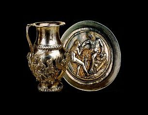
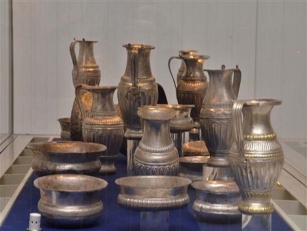
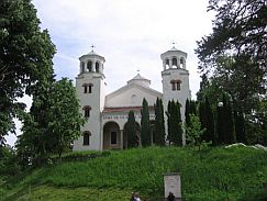
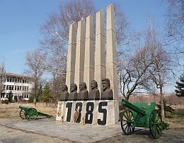
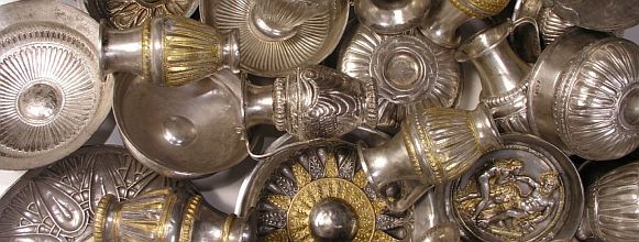
Rogozen is popular with the Thracian treasures found near it '80 last century: https://www.bulgaria-guide.com/guide/Rogozen_Treasure/200385/ |
||
|
The Rogozen collection is the richest Thracian treasure found so far. Unearthed in the period 1985 - 1986, it consists of as many as 108 Philae, 54 small jugs and 3 cups. The objects are mostly made of silver with gilt coating. They were collected during a period exceeding a century - from the beginning of the 5th century to the mid-4th century BC. Part of it can be seen in the History Museums in Vratsa and Sofia. The next photos illustrate countryside toward Borovan. |
||
 |
 |
 |
 |
 |
 |
Sector II. A - 4
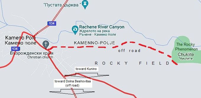
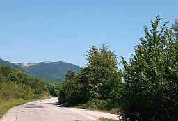
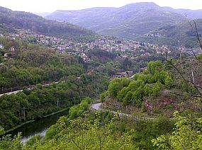
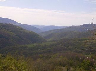
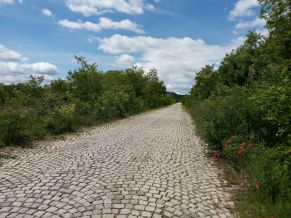
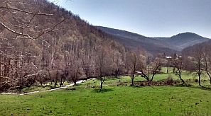
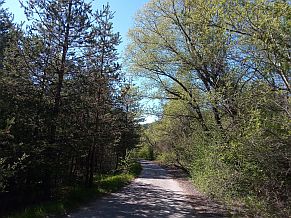
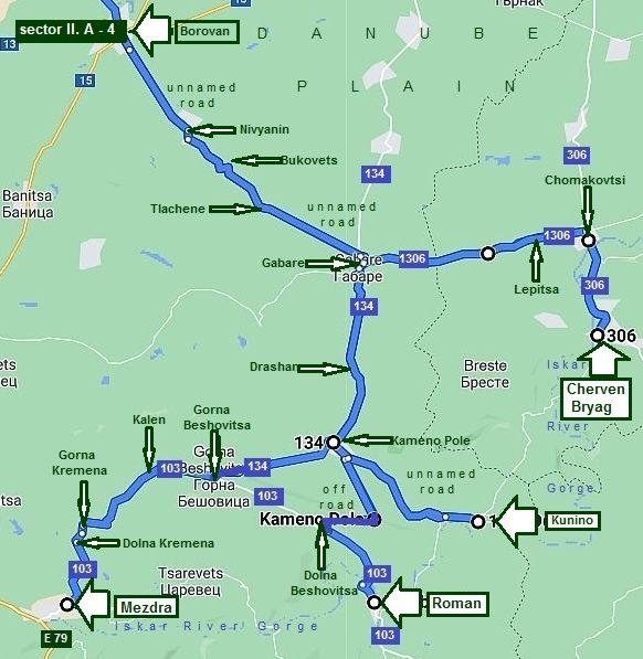
As mentioned earlier, this route connect Vidin and Sofia via Iskar River Gorge. So in this sector is shown how to reach the Gorge from Borovan. Entrance to the Gorge is Cherven Bryag. According to the time you have, you can choose to reach the Gorge at Cherven Bryag, Kunino, Roman or Mezdra. Overnight accommodations are only available in Cherven Bryag and Mezdra. All of this area is extremely nice to be explored by bicycle. There will be no traffic issues here. Detailed information concerning all this area including the route from from Mezdra to Roman to Kunino can be found in the Chapter I. BALKAN PASSES, Sector I. A , point 2. Iskar River Gorge, Sector I. A - 2. e: From Mezdra to Roman to Kunino.
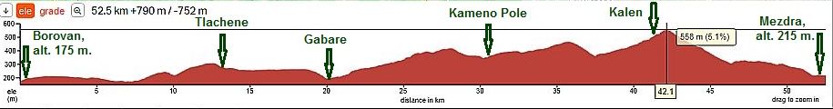
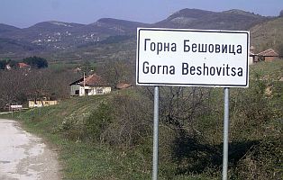
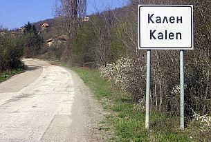
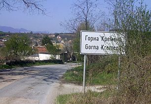
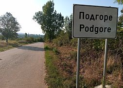
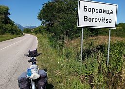
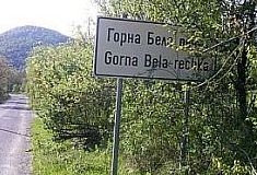
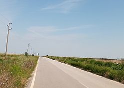
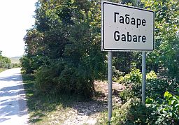
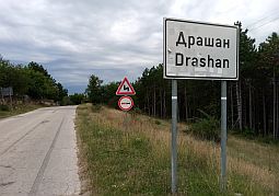
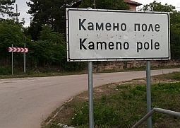
The shortest route toward Sofia: From Borovan (unnamed road) to Nivyanin to Bukovets to Tlachene to Gabare (road 134) to Drashan to Kameno Pole to (road 103) Gorna Beshovitsa to Kalen to Gorna Kremena to Dolna Kremena to Mezdra. |
||
|
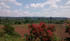
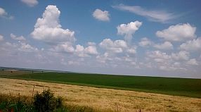
Starting from Borovan toward Tlachene the route is still in Danube Plain. |
||
 |
 |
 |
 |
 |
|
|
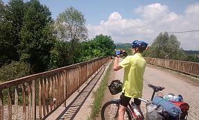
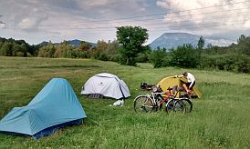
Nivyanin and our breakfast in it. We spent a night just at the bed of Skat River flowing through the village. |
||
 |
 |
 |
 |
 |
|
|
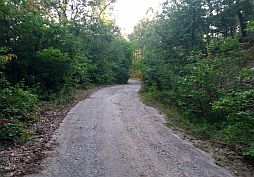
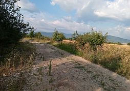
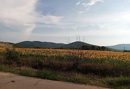
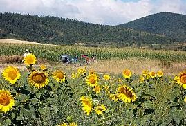
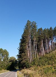
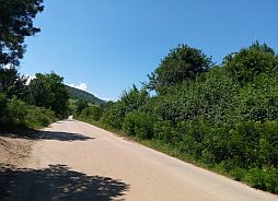
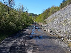
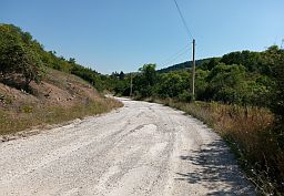
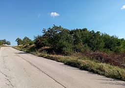
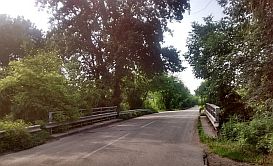
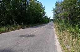
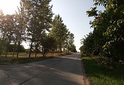
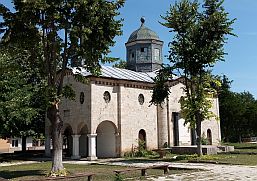
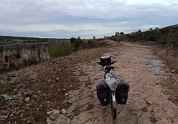
The road from Tlachene toward Gabare was not maintained many years, so pedalling here is not so pleasant, at least there is not ant traffic. A food shop is available in Gabare. |
||
 |
 |
 |
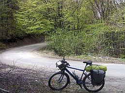
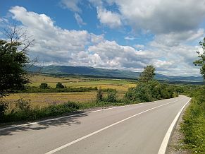
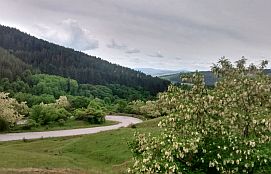
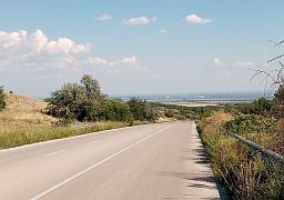
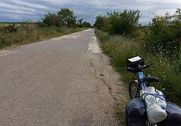
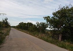
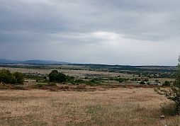
| Leaving Gabare, the road is in more hilly area, the Danube Plain already is behind you. | ||
 |
 |
 |
 |
 |
 |