|
|
||
.jpg) |
|
|
|
|
||
|
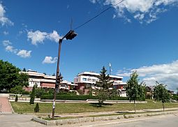
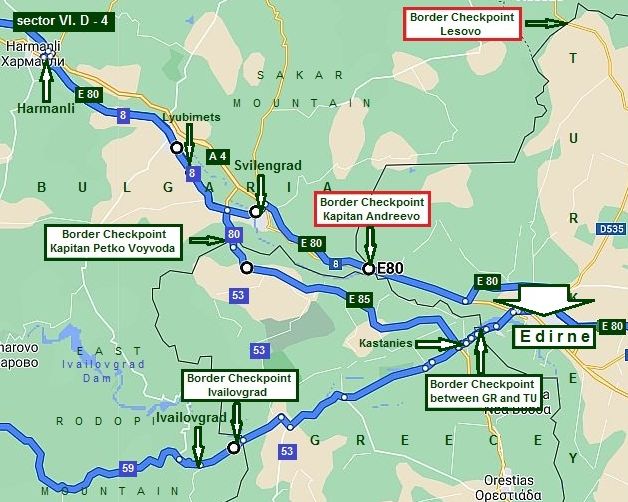
VI. Routes: D. From Sofia to Plovdiv (to Edirne in Turkey) |
||
|
|
||
.jpg)
|
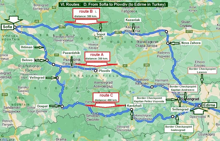
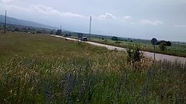
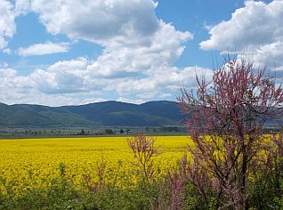
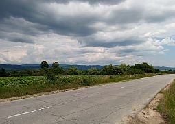
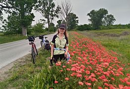
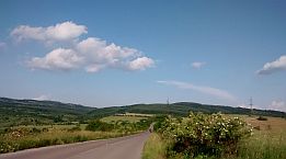
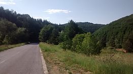
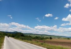
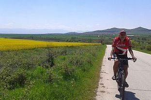
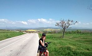
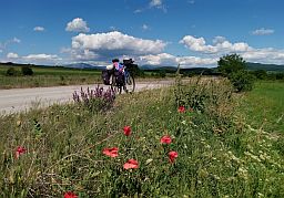
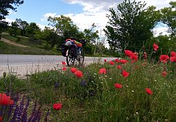
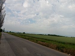
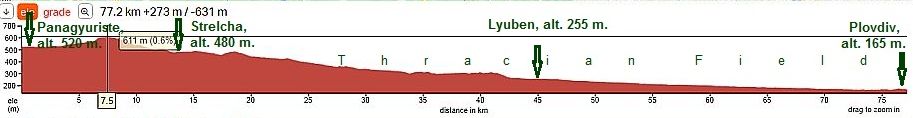
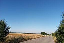
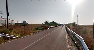
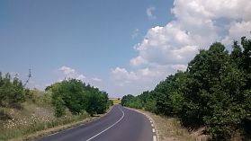
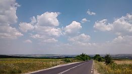
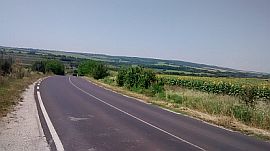
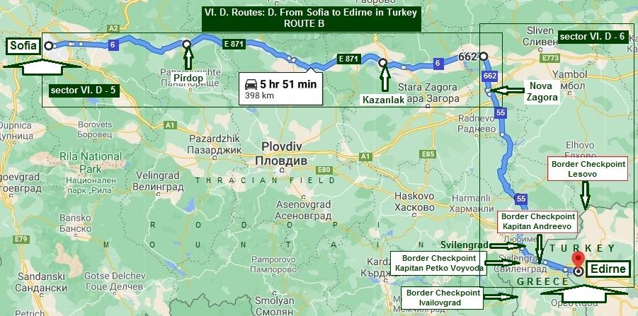
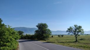
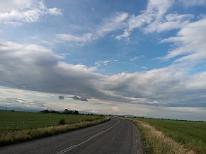
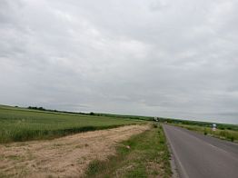
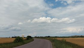
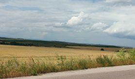
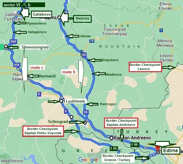
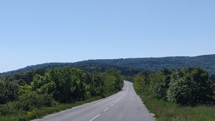
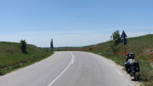
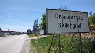
For the routes from Sofia to Edire here I would suggest three opportunities. According the time you have and areas you love to explore: Route A This route is the easiest and shortest one, the pedaling is in Thracian field: From Sofia to Belovo to Pazardzhik to Plovdiv to Haskovo to Harmanli to Svilengrad to Border Checkpoint Kapitan Andreevo to Edirne; Route B This route could be one of the most scenic routes you |
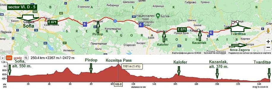
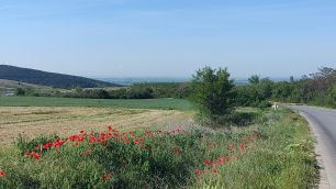
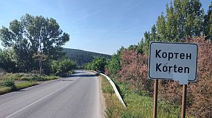
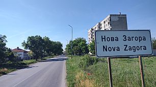
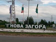
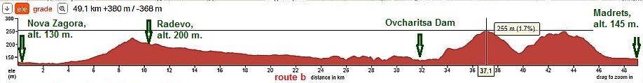
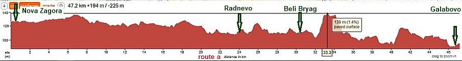
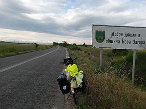
will explore area between Balkans and Sredna Gora Mountain from Sofia to Kazanlak: From Sofia to Sopot to Kazanluk to Nova Zagora to Svilengrad to Border Checkpoint Kapitan Andreevo;
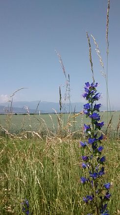
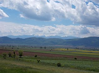
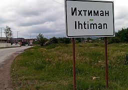
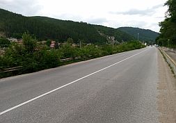
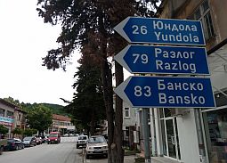
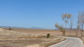
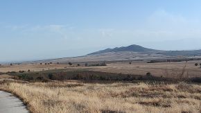
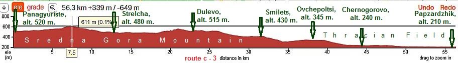
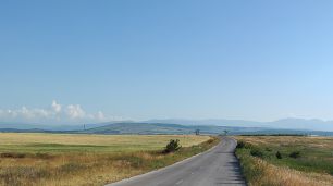
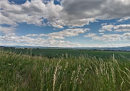
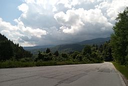
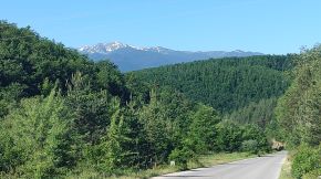
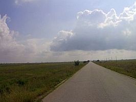
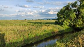
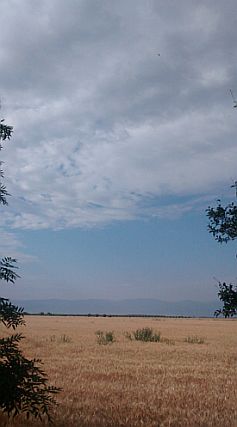
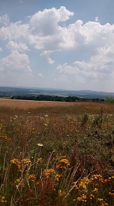
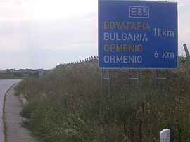
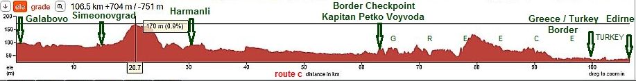
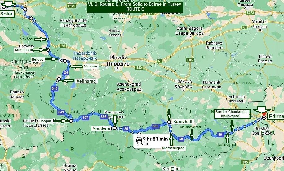
Route C This route is the longest. It is a wonderful place for bicyclists loving mountain areas - Rodopi Mountains: From Sofia to Ihtiman to Belovo to Velingrad to Dospat to Smolyan to Kardzhali to Momchilgrad to Border Checkpoint Ivailovgrad to Edirne. |
|
|
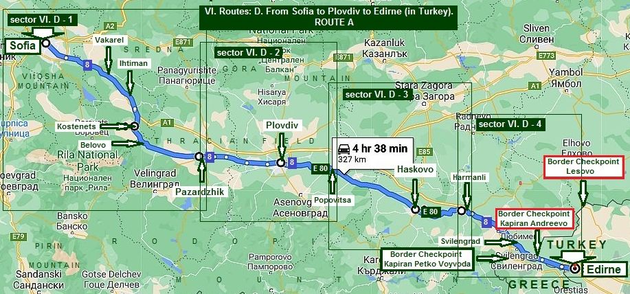
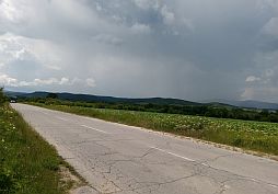
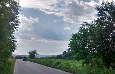
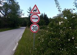
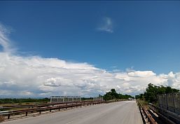
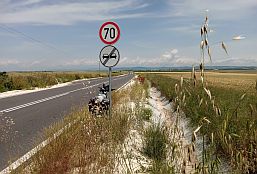
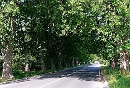
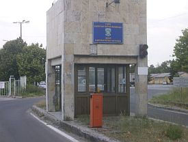
For bicyclists having no time to research the routes below in detail, have in mind be aware the traffic at the Border Checkpoint in red is very heavy. From Sofia to Plovdiv to Edirne (in Turkey) Route A |
||
|
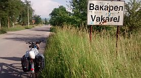
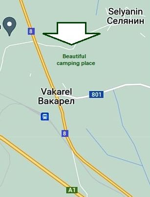
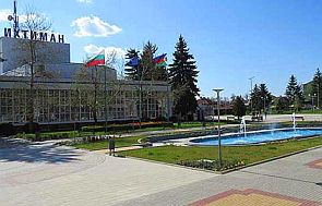
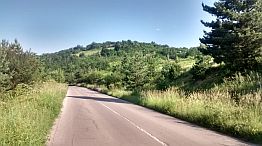
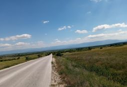
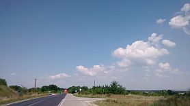
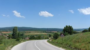
The next route is the shortest distance from Sofia to Edirne: From Sofia to Elin Pelin to Vakarel to Ihtiman to |
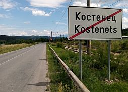
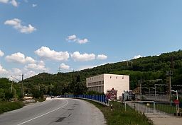
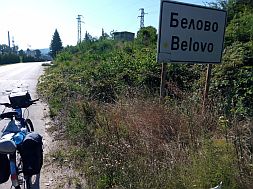
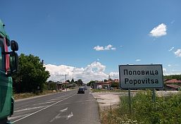
Kostenets to Belovo to Pazardzhik to Plovdiv to Popovitsa to Haskovo to Harmanli to Svilengrad to Border Checkpoint Kapitan Andreevo to Edirne. |
|
|
|
||
|
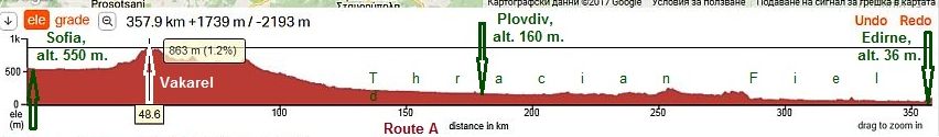
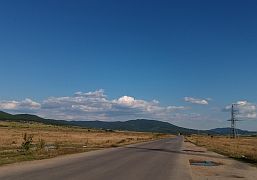
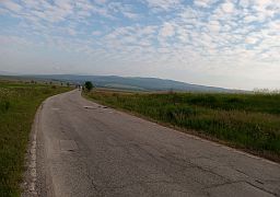
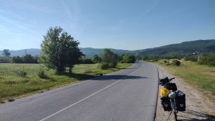
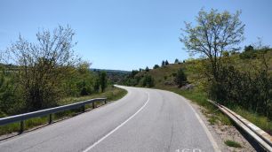
It is the easiest and shortest route from Sofia to Edirne. Once reaching Vakarel, you will be pedaling down the hill to Edirne. Later, I will give more detailed road profile charts |
||
|
|
||
|
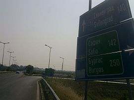
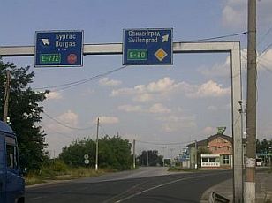
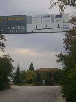
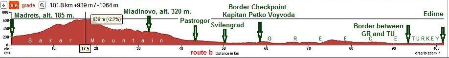
The route from Sofia to the border checkpoint Kapitan Andreevo is a segment of the ancient General Roman military road Vindobona: From Vienna to Singidumun (Belgrade) to Naissus (Nis) |
|
to Remesiana (Bela Palanka) to Tures (Pirot) to Skretiska (Kostinbrod) to Serdica (Sofia) to Philippopolis (Plovdiv) to Adrianople (Edirne) to Byzantium to Constantinople. |
|
For more detail description I will devide Route A into 4 sectors: |
||
|
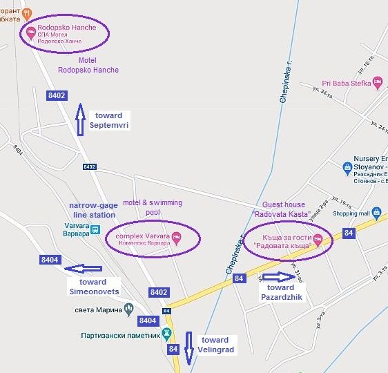
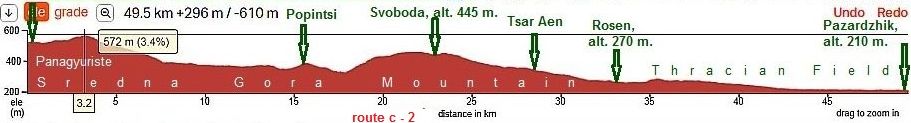
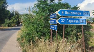
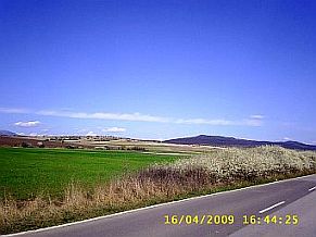
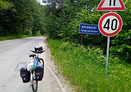
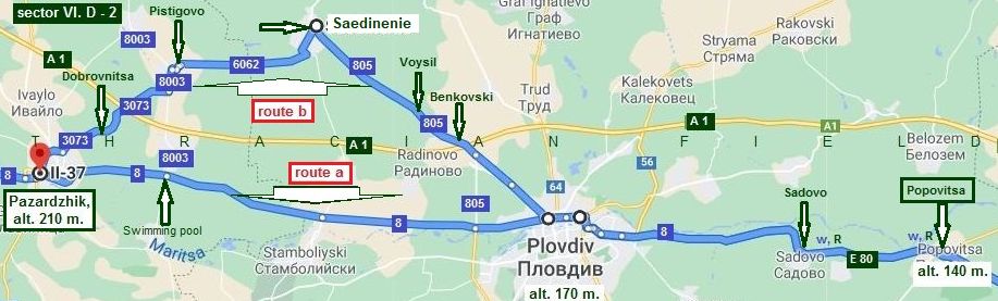
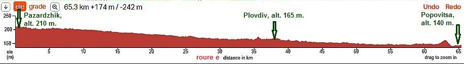
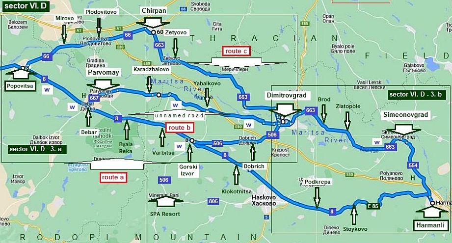
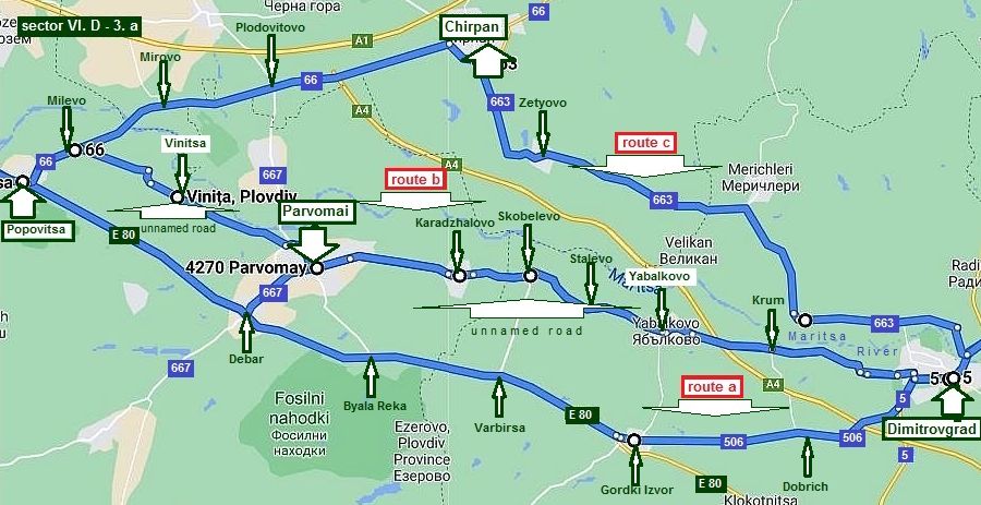
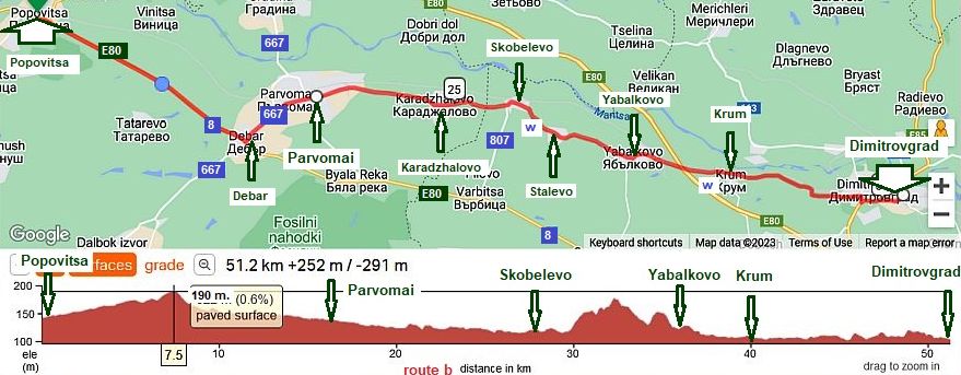
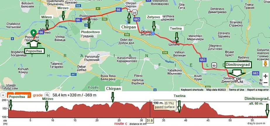
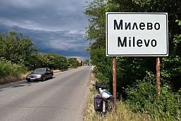
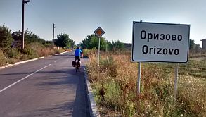
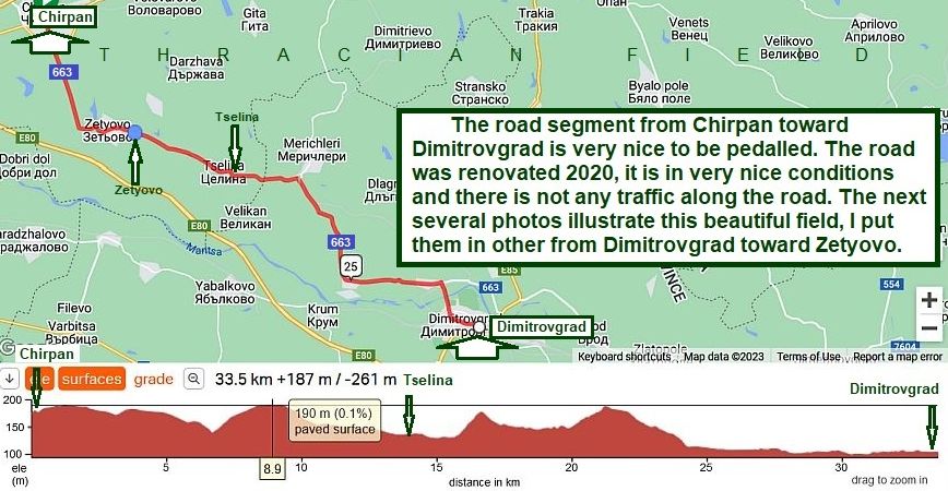
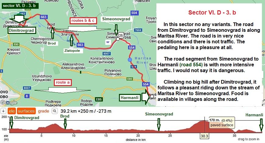
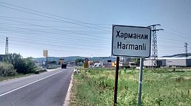
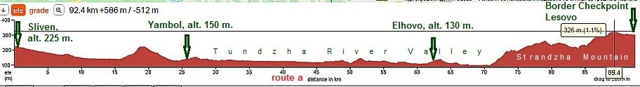
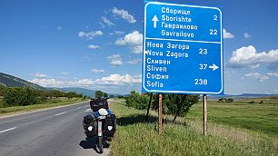
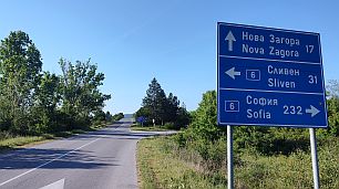
Sector I. D - 1 From Sofia to Pazardzhik (distance 110 km.) to Plovdiv Sector I. D - 2 From Pazardzhik to Plovdiv to Popovitsa (distance 65 km.) |
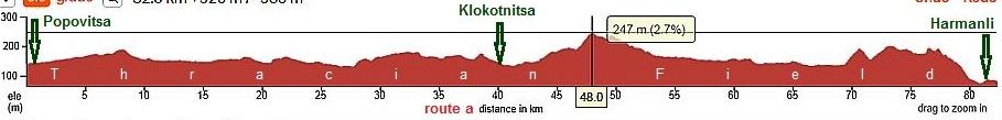
Sector I. D - 3 From Popovitsa to Harmanli (distance 82 km.) Sector I. D - 4 From Harmanli to Edirne (distance 66 km.) |
|
|
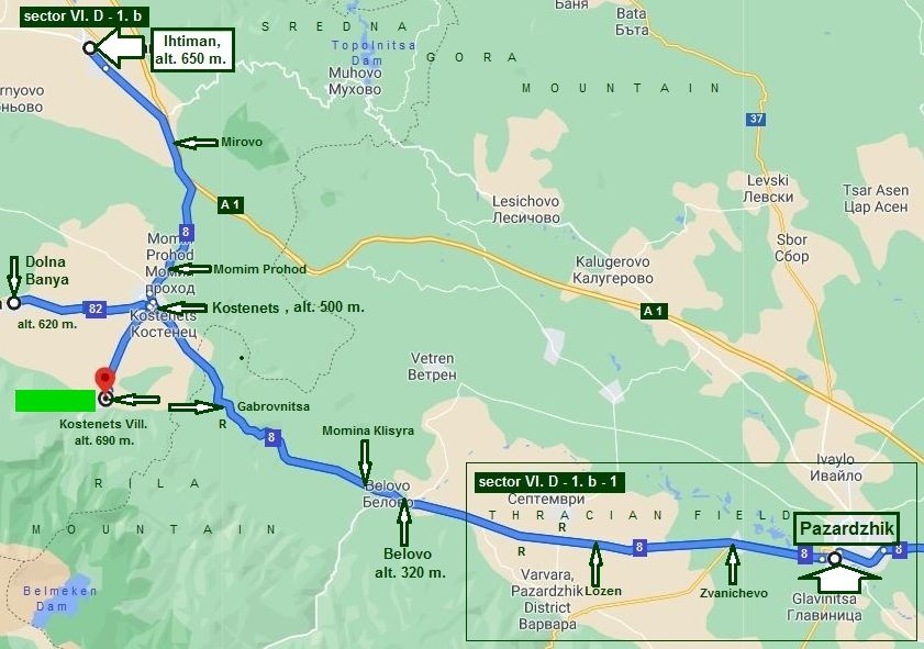
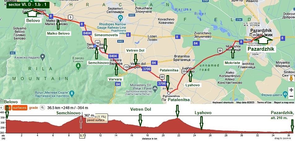
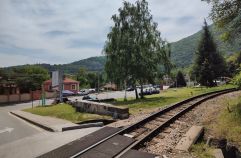
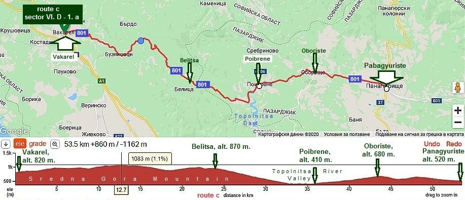
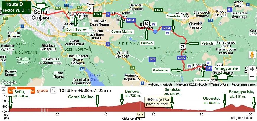
1. From Sofia to Pazardzhik (to Plovdiv) Sector VI. D - 1 |
||
|
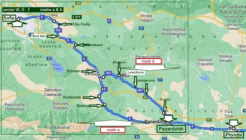
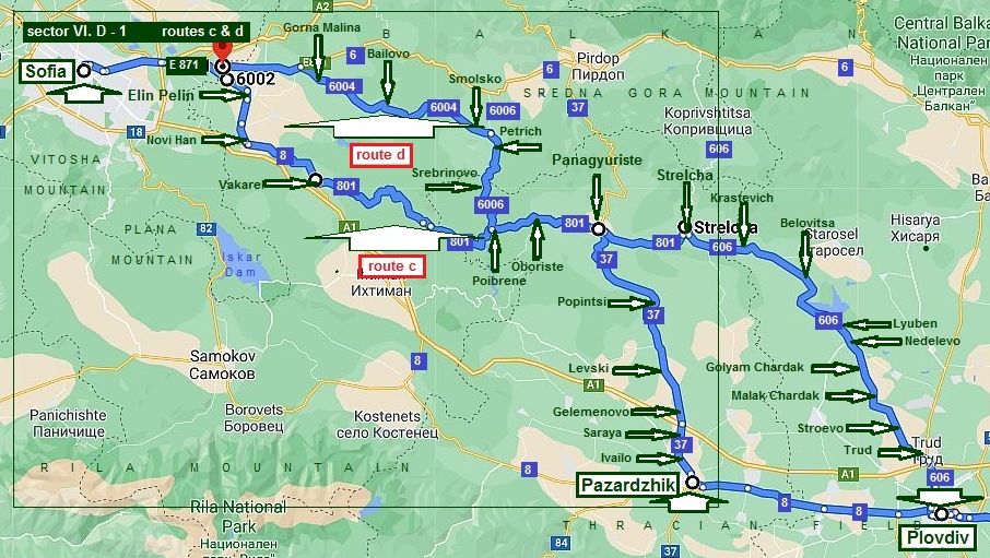
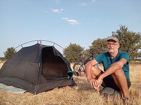
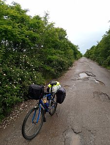
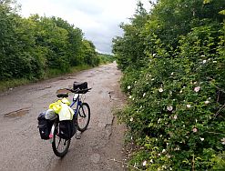
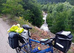
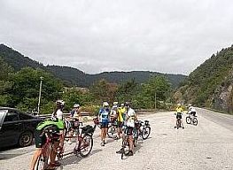
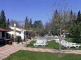
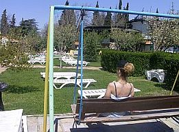
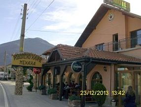
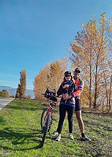
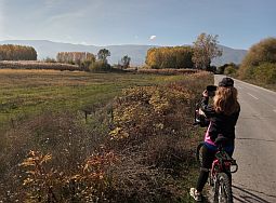
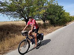
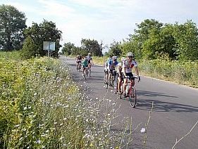
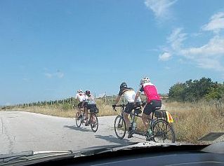
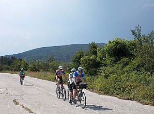
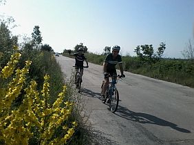
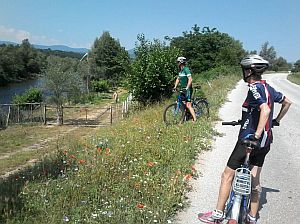
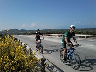
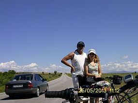
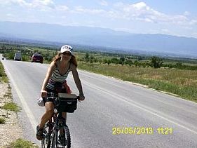
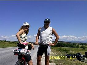
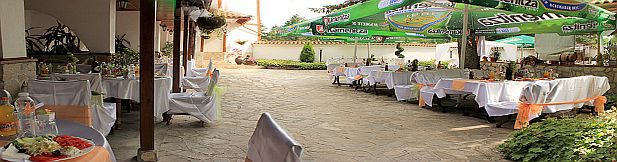
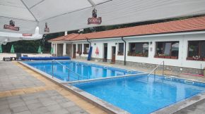
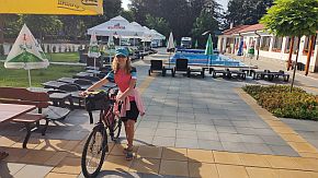
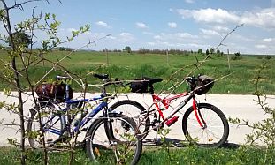
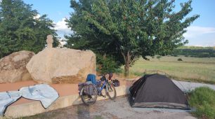
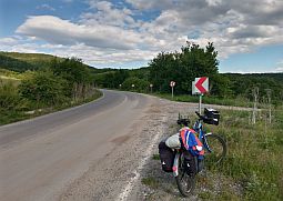
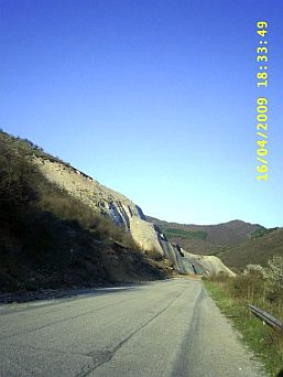
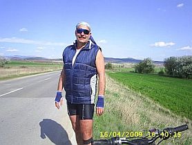
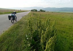
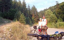
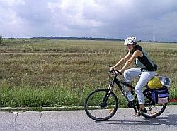
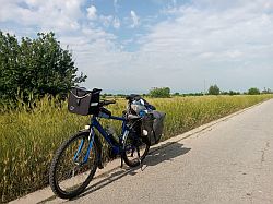
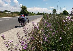
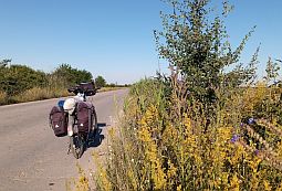
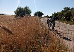
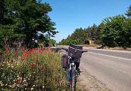
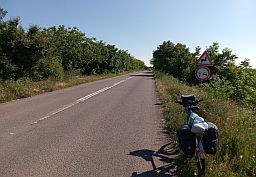
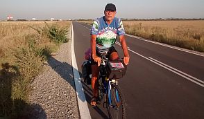
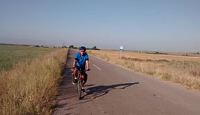
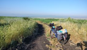
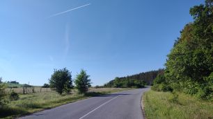
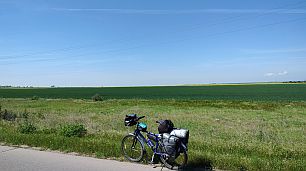
In this sector I will give five opportunities (routes a - e) to reach Pazardzhik from Sofia. You can choose the best of you according the time you have and area you would prefer to explore. Route a From Sofia to Elin Pelin to Novi Han to Vakarel to Ihtiman to Kostenets to Belovo to Pazardzhik. It is the most most popular road among the long distance bicyclists. The road is easy to be pedaled in the direction west – east. It is also just as popular a route |
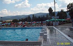
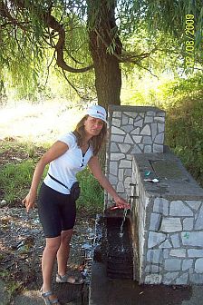
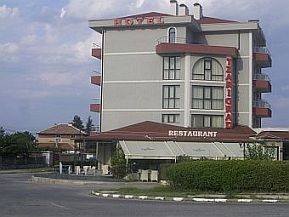
pedaling in the reverse direction, too. Food, water, overnight accommodations along the route are not a problem.
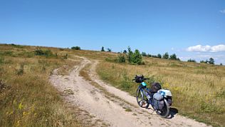
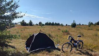
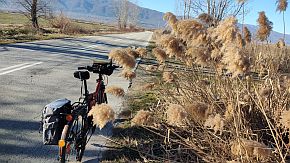
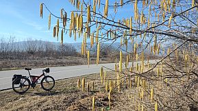
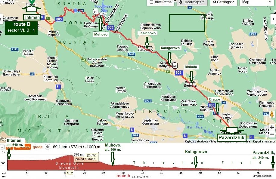
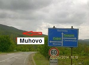
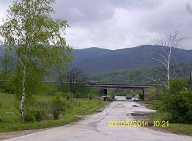
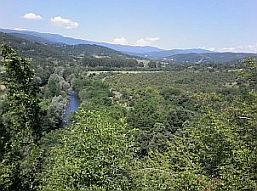
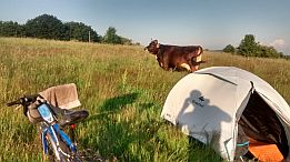
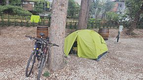
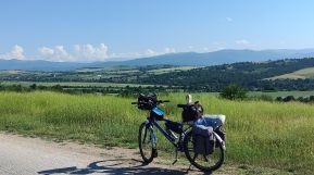
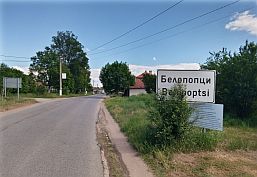
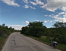
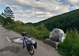
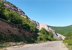
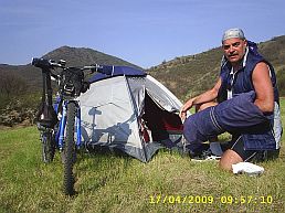
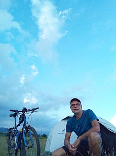
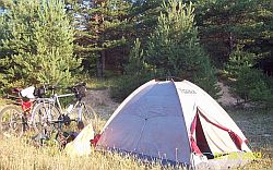
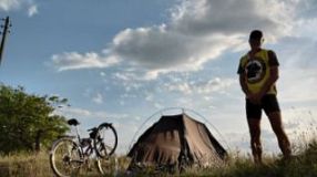
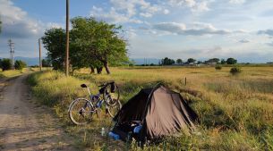
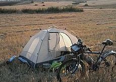
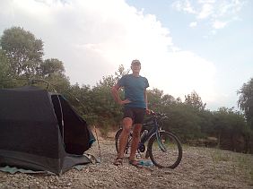
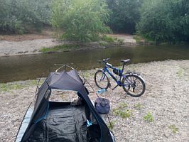
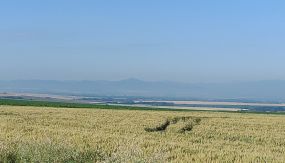
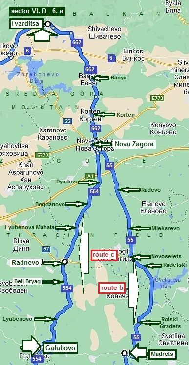
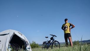
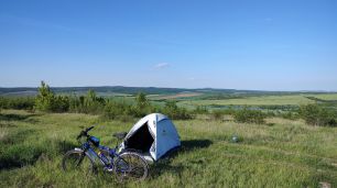
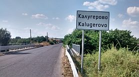
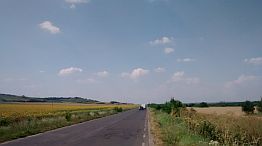
The next route I would recommend to more adventurous peddlers loving to explore the mountain area as well as loving the wild camping: Route b From Sofia to Ihtiman to Muhovo to Lesichovo to Kalugerovo to Dragor to Pazardzhik. |
|
|
|
||
|
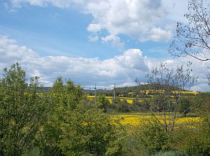
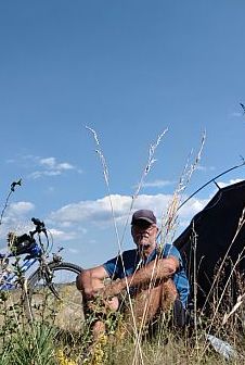
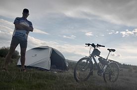
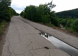
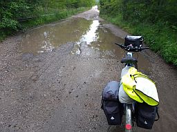
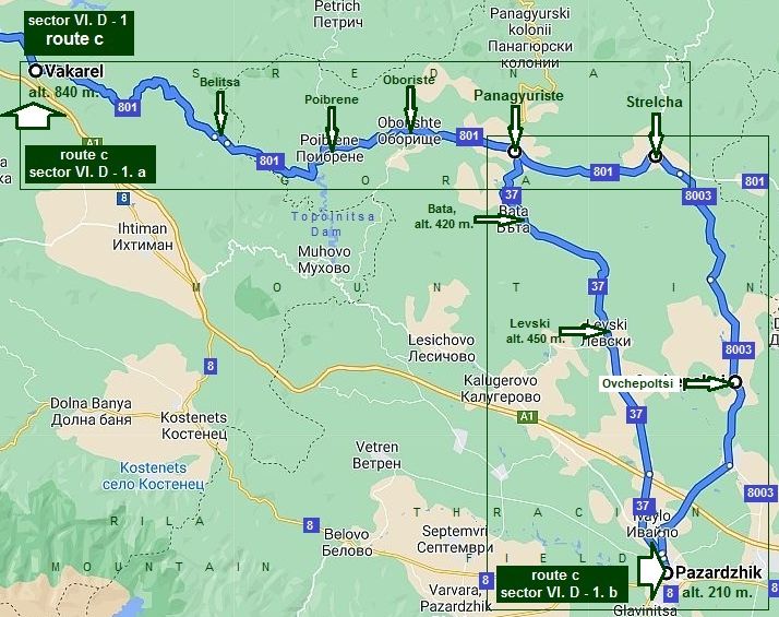
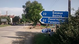
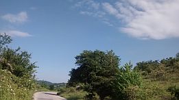
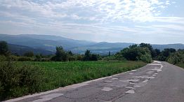
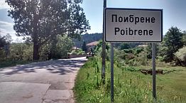
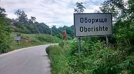
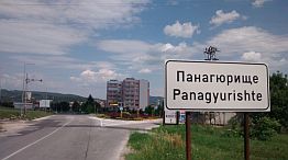
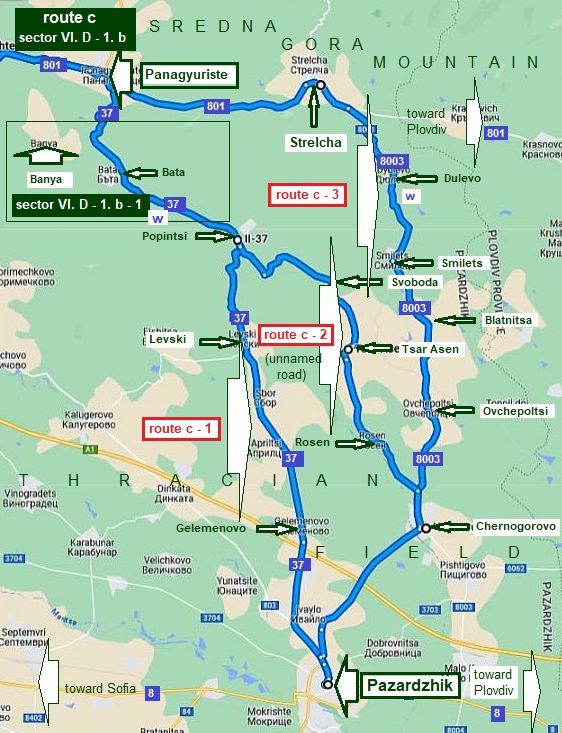
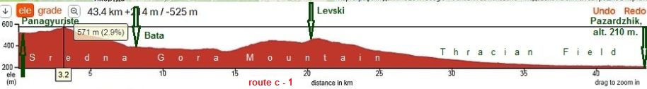
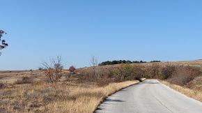
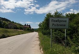
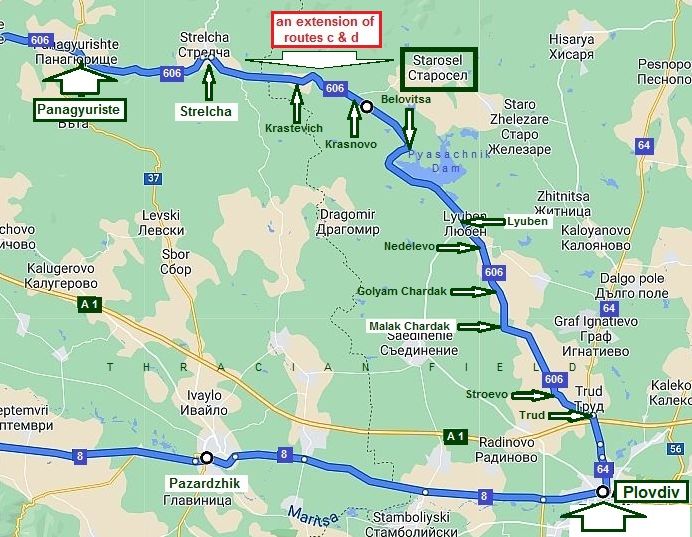
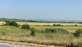
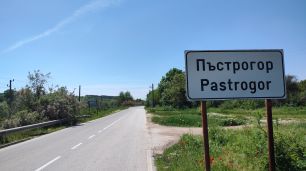
The next 2 routes I would recommend again to more adventure pedlers loving to explore the mountain area (Sredna Gora Mountain) as well as loving the wild camping: Route c From Sofia to Elin Pelin to Vakarel to Poibrene to Oboriste |
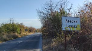
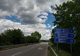
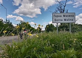
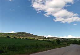
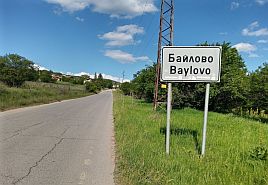
to Panagyuriste to Popintsi to Levski to Pazardzhik; Route d From Sofia to Gorna Malina to Bailovo to Petrich to Poibrene to Oboriste to Panagyuriste to Popintsi to Levski to Pazardzhik, |
|
|
|
||
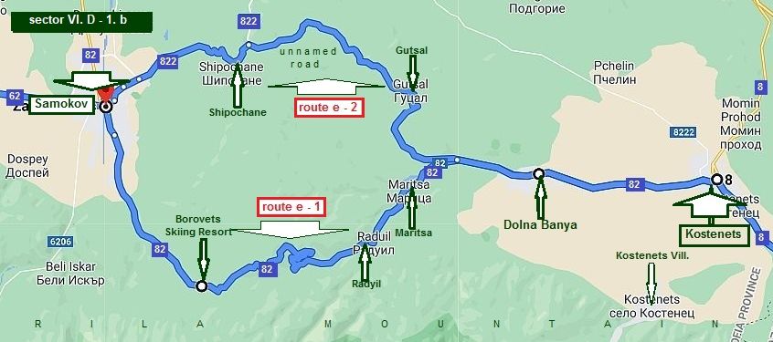
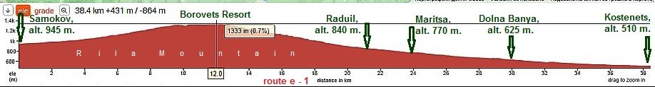
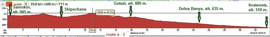
|
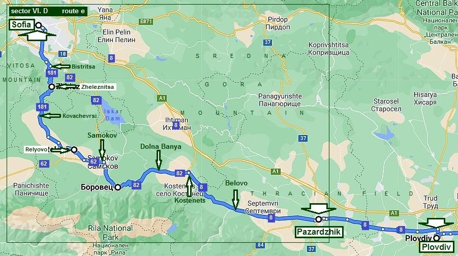
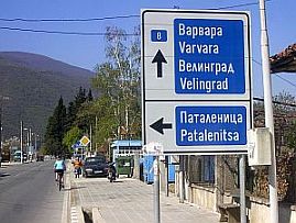
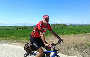
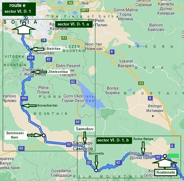
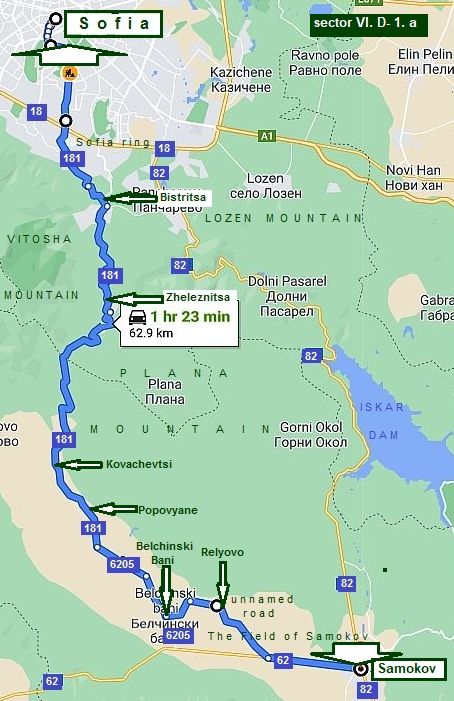
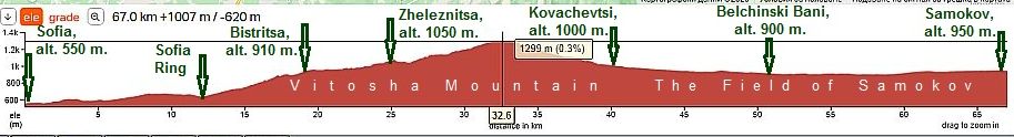
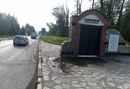
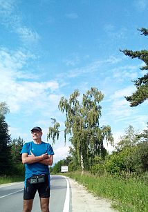
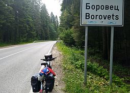
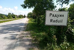
And one more route including Samokov. I know some bicyclists want to visit Samokov and Borovets Resort using road 82. Because road 82 has heavy traffic I suggest this alternative as a safer route. |
|
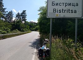
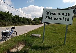
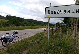
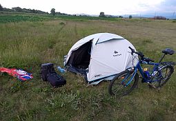
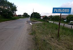
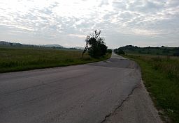
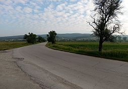
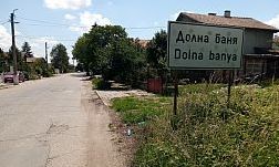
Route e From Sofia to Bistritsa to Zheleznitsa to Kovachevtsi to Relovo to Samokov to Dolna Banya to Kostenets to Belovo to Pazardzhik. |
|
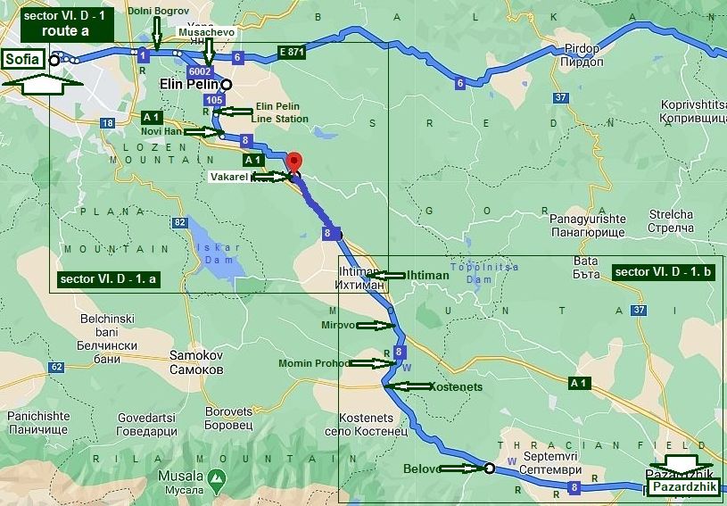
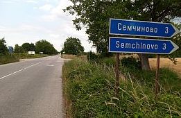
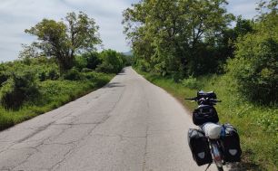
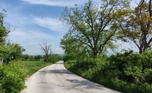
1. From Sofia to Pazardzhik routes a & b
|
||
|
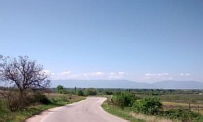
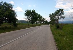
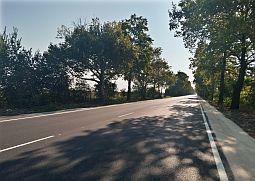
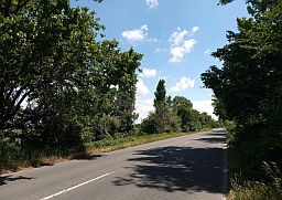
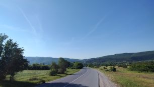
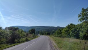
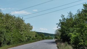
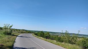
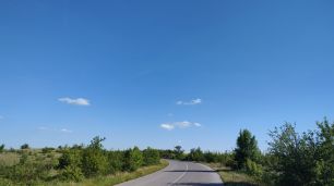
Route a (road 8) It it is the shortest route from Sofia to Plovdiv, and most of pedlers prefer to pedal it: From Sofia to Dolni Bogrov to Musachevo to Elin Pelin |
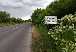
to Elin Pelin Line Station to Novi Han to Vakarel to Ihtiman to Mirovo to Momin Prohod to Kostenets to Belovo to Pazardzhik. |
|
|
|
||
|
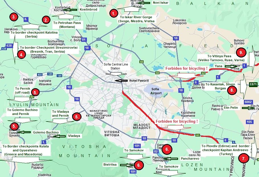
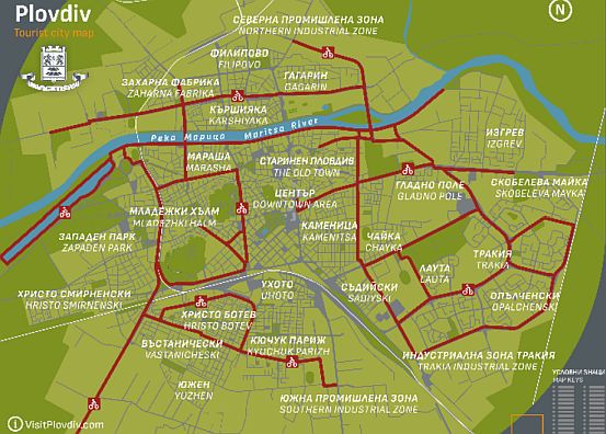
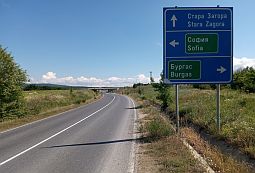
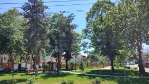
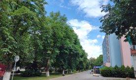
Leaving Sofia safely by bicycle, look in: 1. 1. Leaving Sofia (see also the Chapter IX. How to enter/leave Sofia by bicycle
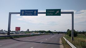
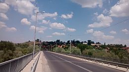
The direct road to leave/enter Sofia towards/from Plovdiv |
|
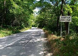
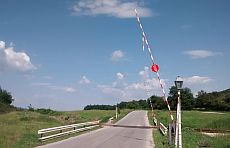
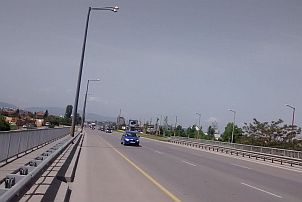
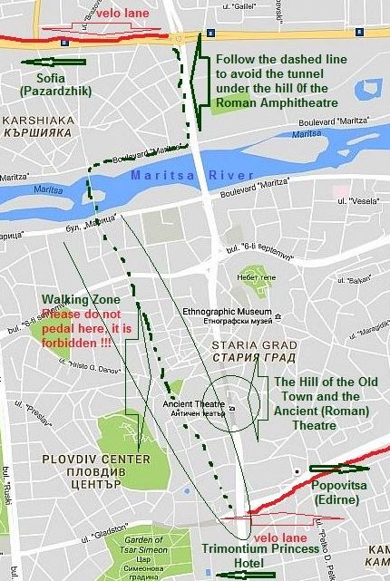
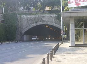
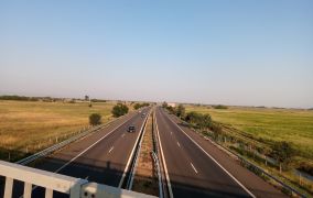
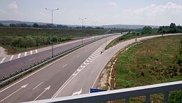
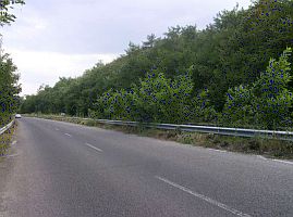
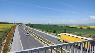
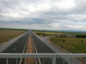
is so called “Tsarigradsko shose” Str. (N 7 on the map below), after the ring around Sofia it becomes the motorway “Trakiya” (A1). It is one of the most dangerous roads in Sofia and bicycling along it is forbidden. AVOID IT ! |
|
|
||
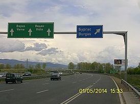
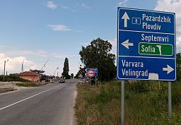
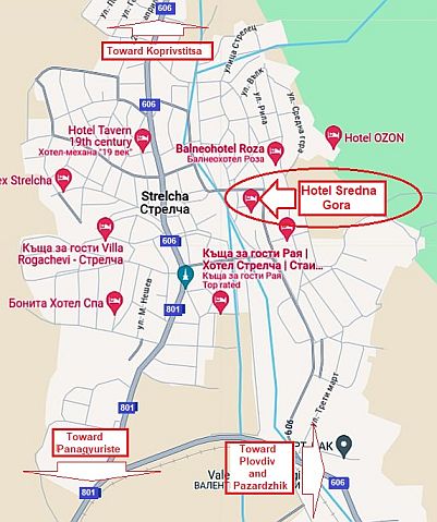
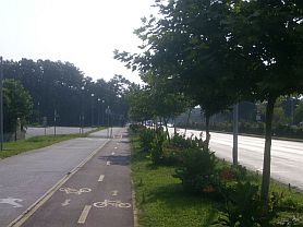
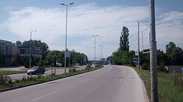
| It will be much better to head east along what is referred to as “Botevgradsko shose” Str. (N 8 on my map above (E 871) on the map above). Evan though in Sofia, | you will see this road is signed towards Vidin / Varna / Ruse / Burgas, take this road !!! | |
|
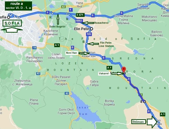
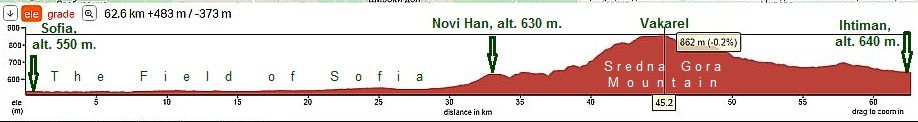
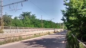
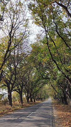
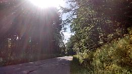
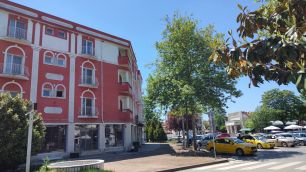
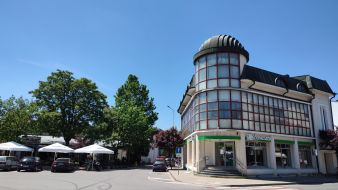
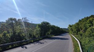
Sector VI. D - 1. a 1. 2. From Sofia to Ihtiman (road 8)
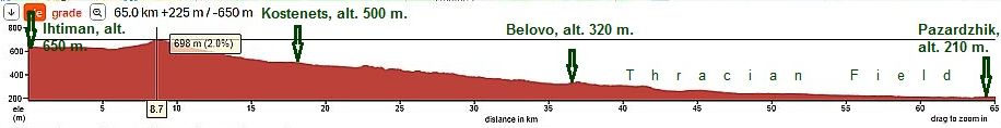
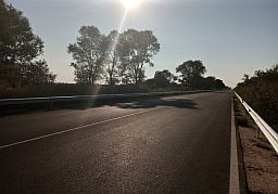
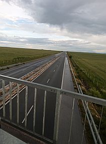
The road profile chart
|
||
|
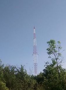
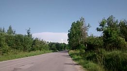
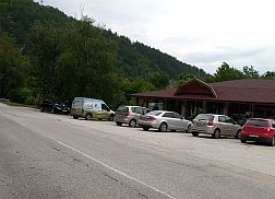
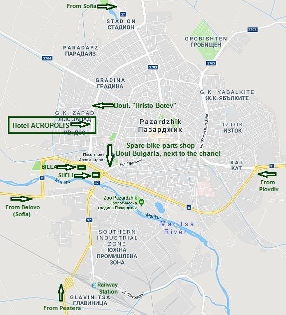
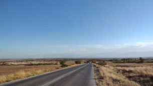
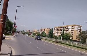
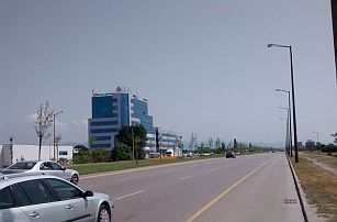
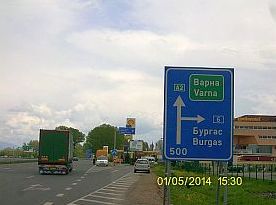
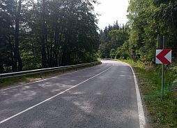
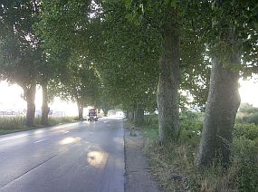
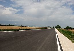
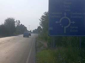
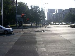
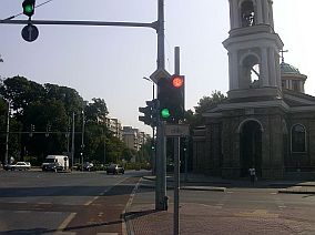
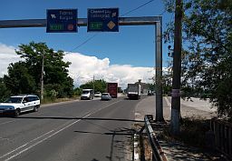
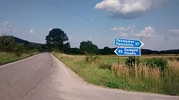
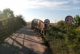
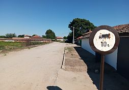
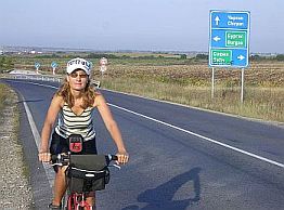
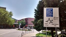
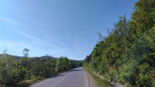
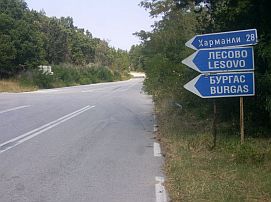
With "R" on the map above I point out restaurants available on the road. Just after crossing the ring around Sofia, follow the sign toward Burgas (to right - pic. 1). Move ahead to the next crossroad and again you have to follow the sign toward Burgas (to right again - pic. 2). So heading toward Burgas you will avoid Vitinia Pass and motor way A2. |
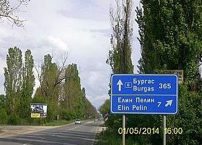
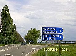
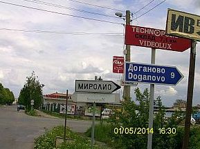
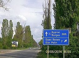
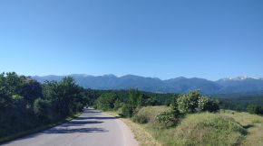
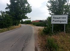
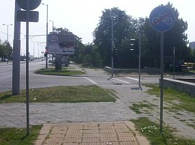
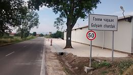
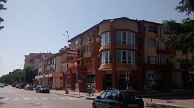
At the next crossroad head toward Musachevo and Elin Pelin (pic. 3 and 4 again to right). Just after entering Elin Pelin (it is not necessary to go to the center of the city), turn to the right – Doganovo (pic. 6) and continue on. Mountain “Lozen” will be in front of you, it is the south direction. |
|